UN/LOCODE hub · Canada
CAHMP

Hampden

49.5333°, -56.8667°
439
Population
2
Transport functions

Transport Functions

Port
Road
UN/LOCODE

Hub Profile

Place type
Populated place
GeoNames
Region
Newfoundland and Labrador
GeoNames
Population
439
GeoNames
Time zone
America/St_Johns
GeoNames
Elevation
59 m
GeoNames

Location

Location of CAHMP
Natural Earth 10m (public domain) · Newfoundland and Labrador · CAHMP · 49.53, -56.87GoogleOSMYandex

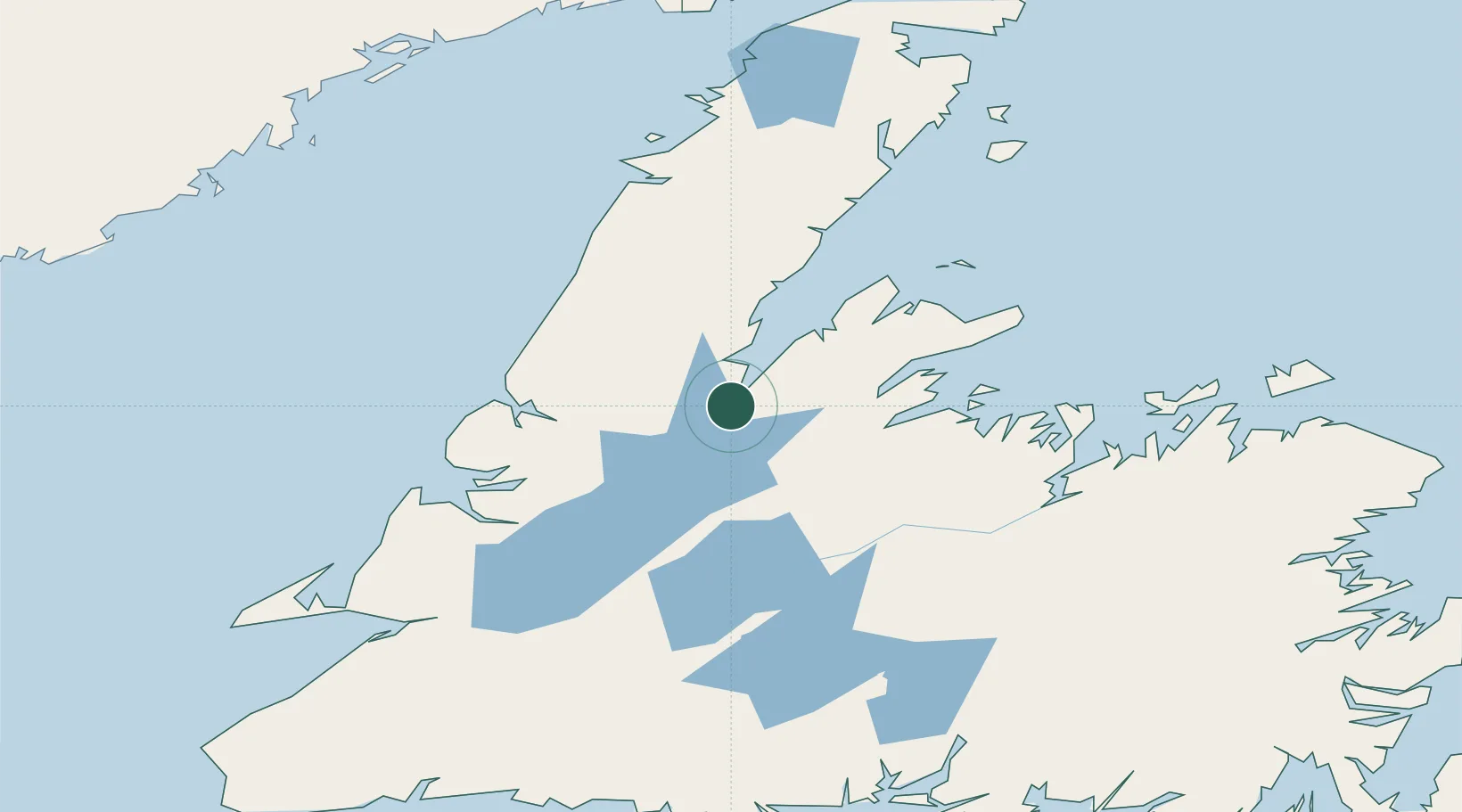
Nearby Logistics Neighbours

Cities
  1. 1Jackson Arm37 km
  2. 2Springdale56 km
  3. 3Deer Lake58 km
  4. 4Baie Verte65 km
  5. 5Lomond66 km
Nearest neighbours — logibook spatial index (haversine) over the source coordinates
Ports
  1. 1Springdale58 km
  2. 2Baie Verte64 km
  3. 3Corner Brook102 km
  4. 4Botwood120 km
  5. 5Lewisporte135 km
Nearest neighbours — logibook spatial index (haversine) over the source coordinates
Airports
  1. 1Deer Lake Airport53 km
  2. 2Stephenville Dymond International Airport165 km
  3. 3Gander International Airport180 km
  4. 4Fogo Airport190 km
  5. 5La Tabatière Airport208 km
Nearest neighbours — logibook spatial index (haversine) over the source coordinates
Trade Zones
  1. 1Crossroads Business Park179 km
  2. 2Cape Breton Regional Municipality Foreign Trade Zone473 km
  3. 3Halifax Gateway743 km
  4. 4Saint John838 km
  5. 5FTZ No. 179 Madawaska882 km
Nearest neighbours — logibook spatial index (haversine) over the source coordinates
DatabookThe Record of Consolidated Knowledge
Canada beyond logistics?
Browse databook

All Sources

LocationsUN/LOCODE
UN/LOCODE — free
LocationsGeoNames
CC BY 4.0
Portsthe NGA World Port Index
Public domain (US gov)
AirportsOurAirports
Public domain
Trade Zonesthe World Bank SEZ database
CC BY 4.0
Trade ZonesOpen Zone Map
CC BY
← Canada locations