Transport Functions
Port
Hub Profile
Place type
Populated place
Region
Newfoundland and Labrador
Population
398
Time zone
America/St_Johns
Elevation
6 m
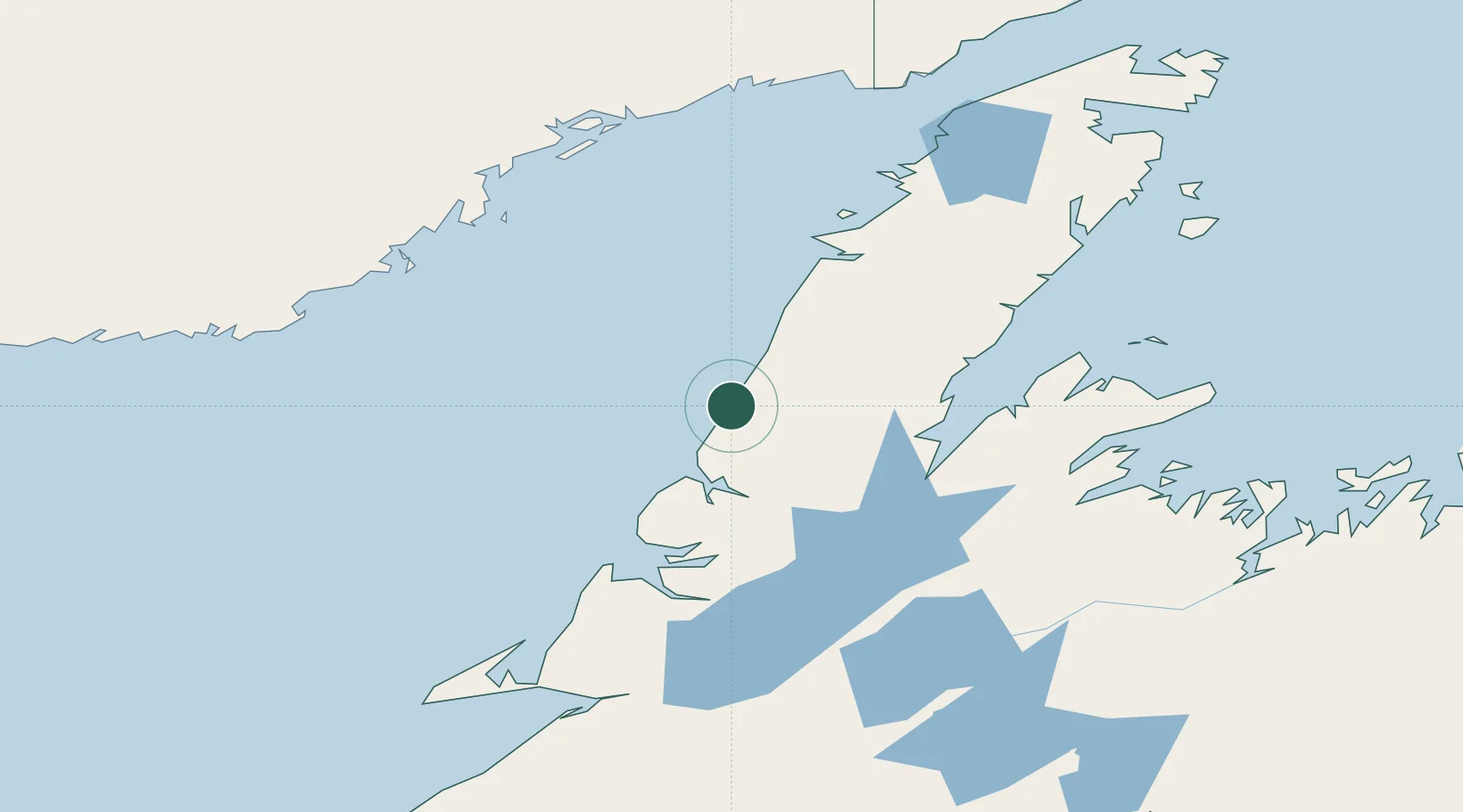
Location
Nearby Logistics Neighbours
Cities
- 1Daniels Harbour40 km
- 2Lomond50 km
- 3Jackson Arm71 km
- 4Hampden78 km
- 5Deer Lake85 km
Ports
- 1Corner Brook106 km
- 2Baie Verte113 km
- 3Springdale131 km
- 4Roddickton159 km
- 5Stephenville161 km
Airports
- 1Deer Lake Airport82 km
- 2La Tabatière Airport134 km
- 3Tête-à-la-Baleine Airport143 km
- 4Chevery Airport146 km
- 5St Augustin Airport158 km
Trade Zones
- 1Crossroads Business Park255 km
- 2Cape Breton Regional Municipality Foreign Trade Zone470 km
- 3Halifax Gateway729 km
- 4Saint John806 km
- 5FTZ No. 179 Madawaska828 km
DatabookThe Record of Consolidated Knowledge
Canada beyond logistics?