Transport Functions
Port
Road
Hub Profile
Place type
Populated place
Region
Newfoundland and Labrador
Time zone
America/St_Johns
Elevation
49 m
Location
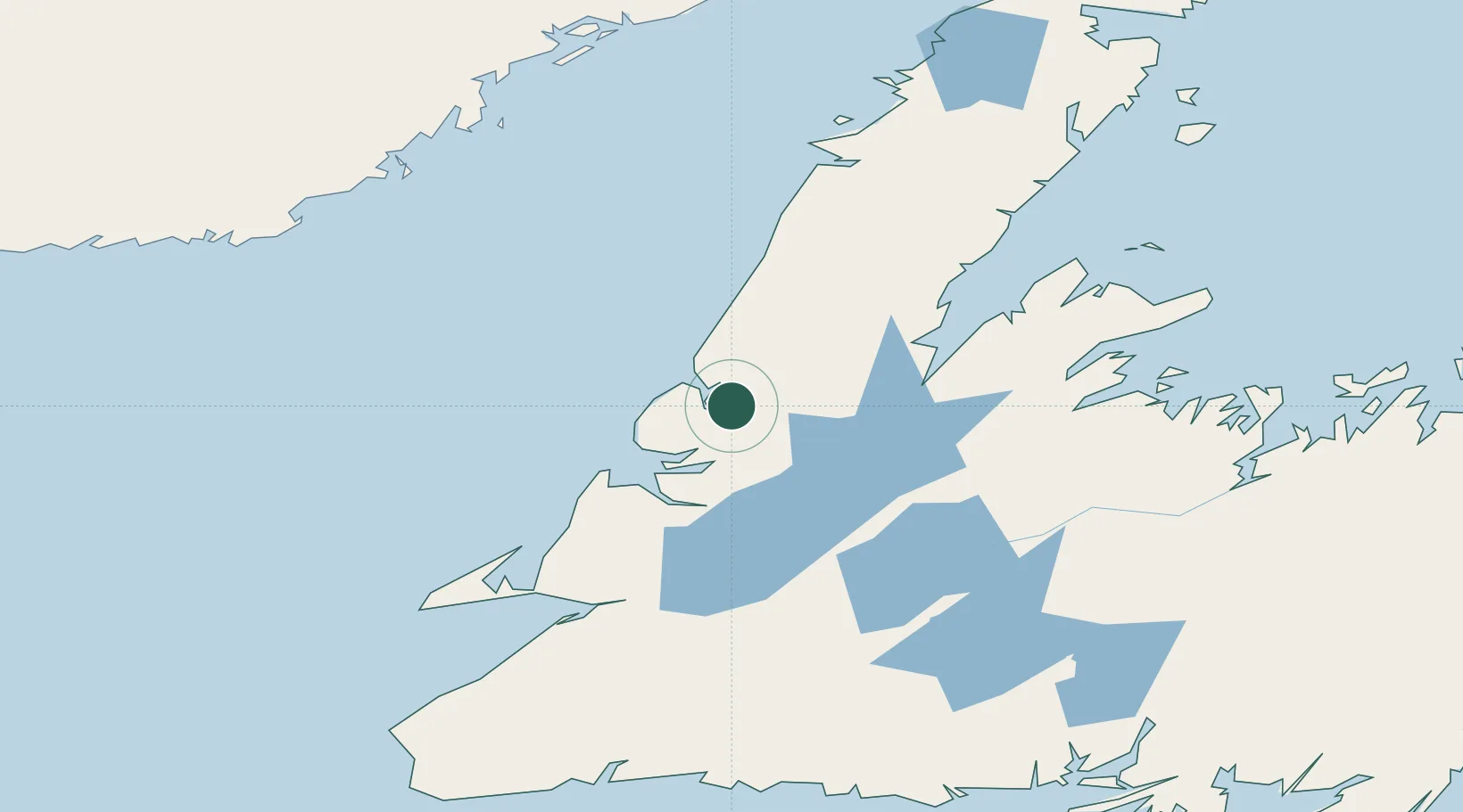
Nearby Logistics Neighbours
Cities
- 1Deer Lake40 km
- 2Pasadena49 km
- 3Cow Head50 km
- 4Corner Brook56 km
- 5Hampden66 km
Ports
- 1Corner Brook57 km
- 2Stephenville116 km
- 3Springdale123 km
- 4Baie Verte124 km
- 5Botwood180 km
Airports
- 1Deer Lake Airport38 km
- 2Stephenville Dymond International Airport116 km
- 3Chevery Airport175 km
- 4La Tabatière Airport176 km
- 5Tête-à-la-Baleine Airport179 km
Trade Zones
- 1Crossroads Business Park239 km
- 2Cape Breton Regional Municipality Foreign Trade Zone428 km
- 3Halifax Gateway692 km
- 4Saint John778 km
- 5FTZ No. 179 Madawaska817 km
DatabookThe Record of Consolidated Knowledge
Canada beyond logistics?