Medium airport · Canada
Deer Lake AirportCYDF
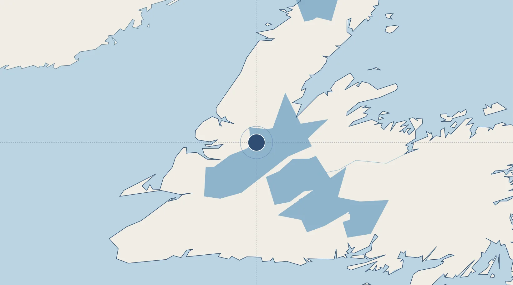
49.2082°, -57.3961°
8,005 ft
Longest runway
1
Runways
72 ft
Elevation
Runway & Layout

Radio Frequencies
CNTR
134.6 MHz
GANDER CNTR
FSS
122.2 MHz
RDO
RCO
126.7 MHz
HALIFAX RDO
RDO
122.2 MHz
MF
Navaids
FK NDB Junction 335 kHz
YDF VOR-DME Deer Lake 113.30 MHz
Runways · 1
| Runway | Dimensions | Surface | True heading | Lit |
|---|---|---|---|---|
| 07/25 | 8,005 × 150ft | Asphalt | 048° | ✓ |
Airport Specifications
IATA code
YDF
ICAO code
CYDF
Airport class
Medium airport
Scheduled service
Yes
Runway surface
Asphalt
Served city
Deer Lake
Location
Nearby Logistics Neighbours
Airports
- 1Stephenville Dymond International Airport112 km
- 2Gander International Airport208 km
- 3La Tabatière Airport213 km
- 4Chevery Airport213 km
- 5Tête-à-la-Baleine Airport216 km
Cities
- 1Deer Lake5 km
- 2Pasadena27 km
- 3Lomond38 km
- 4Corner Brook48 km
- 5Hampden53 km
Ports
- 1Corner Brook50 km
- 2Springdale102 km
- 3Stephenville112 km
- 4Baie Verte117 km
- 5Botwood150 km
Trade Zones
- 1Crossroads Business Park208 km
- 2Cape Breton Regional Municipality Foreign Trade Zone421 km
- 3Halifax Gateway691 km
- 4Saint John787 km
- 5FTZ No. 179 Madawaska838 km
DatabookThe Record of Consolidated Knowledge
Canada beyond logistics?