Medium airport · Canada
St Augustin AirportCYIF
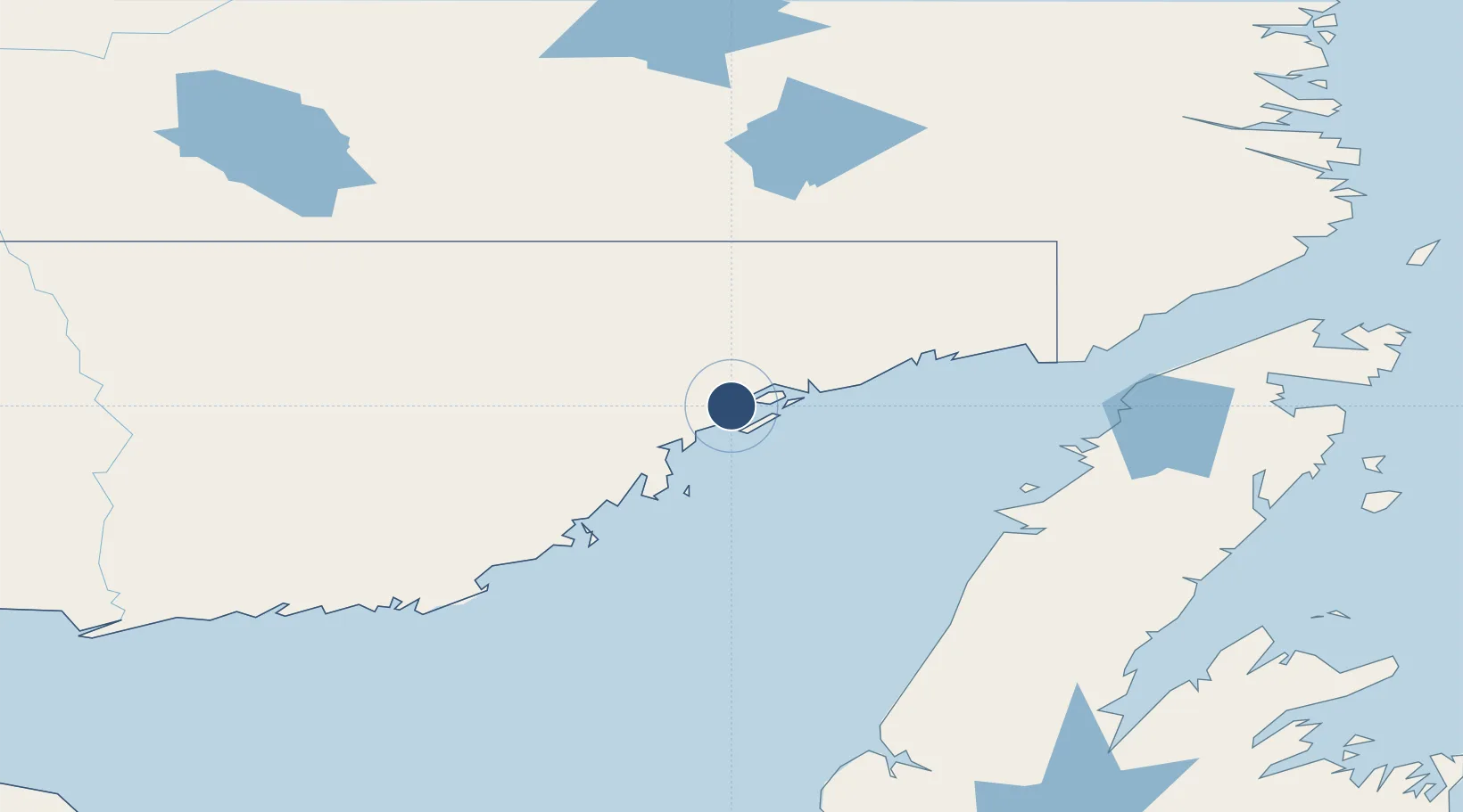
51.2117°, -58.6583°
4,590 ft
Longest runway
1
Runways
20 ft
Elevation
Runway & Layout

Radio Frequencies
RCO
126.7 MHz
QUEBEC RDO
UNIC
123.5 MHz
ATF/UNICOM
Navaids
IIF DME St-Augustin 108.70 MHz
YIF NDB St Augustin 201 kHz
Runways · 1
| Runway | Dimensions | Surface | True heading | Lit |
|---|---|---|---|---|
| 01/19 | 4,590 × 100ft | Asphalt | 353° | ✓ |
Airport Specifications
IATA code
YIF
ICAO code
CYIF
Airport class
Medium airport
Scheduled service
Yes
Runway surface
Asphalt
Served city
St-Augustin
Location
Nearby Logistics Neighbours
Airports
- 1La Tabatière Airport48 km
- 2Tête-à-la-Baleine Airport78 km
- 3Lourdes-de-Blanc-Sablon Airport106 km
- 4Chevery Airport108 km
- 5La Romaine Airport177 km
Cities
- 1Saint-Augustin3 km
- 2L'Anse-au-Loup131 km
- 3Daniels Harbour133 km
- 4Cow Head158 km
- 5Red Bay166 km
Ports
- 1Blanc Sablon108 km
- 2Roddickton181 km
- 3St Anthony216 km
- 4Baie Verte226 km
- 5Corner Brook257 km
Trade Zones
- 1Crossroads Business Park385 km
- 2Cape Breton Regional Municipality Foreign Trade Zone582 km
- 3Halifax Gateway816 km
- 4FTZ No. 179 Madawaska827 km
- 5Saint John858 km
DatabookThe Record of Consolidated Knowledge
Canada beyond logistics?