Small airport · Canada
Tête-à-la-Baleine AirportCTB6
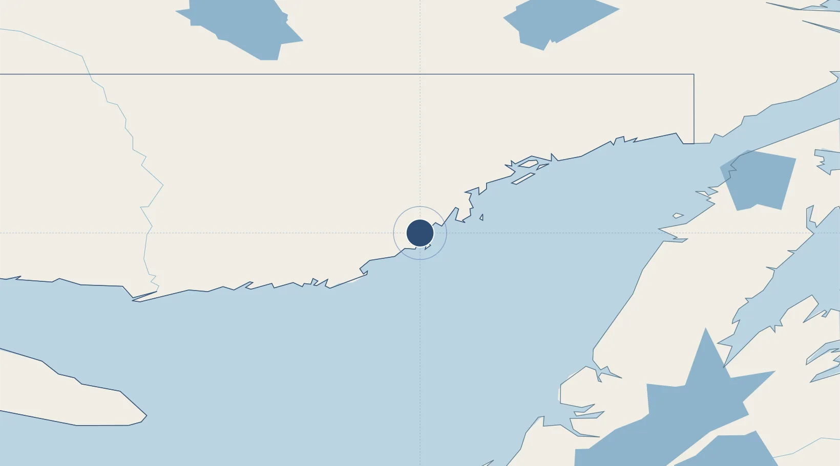
50.6744°, -59.3836°
1,640 ft
Longest runway
1
Runways
107 ft
Elevation
Runway & Layout

Runways · 1
| Runway | Dimensions | Surface | True heading | Lit |
|---|---|---|---|---|
| 18/36 | 1,640 × 85ft | GRAVEL | — | — |
Airport Specifications
IATA code
ZTB
ICAO code
CTB6
Airport class
Small airport
Scheduled service
Yes
Runway surface
GRAVEL
Served city
Tête-à-la-Baleine
Location
Nearby Logistics Neighbours
Airports
- 1Chevery Airport29 km
- 2La Tabatière Airport34 km
- 3St Augustin Airport78 km
- 4La Romaine Airport102 km
- 5Kégashka Airport144 km
Cities
- 1Saint-Augustin81 km
- 2Daniels Harbour137 km
- 3Cow Head143 km
- 4Lomond179 km
- 5L'Anse-au-Loup201 km
Ports
- 1Blanc Sablon178 km
- 2Corner Brook218 km
- 3Roddickton230 km
- 4Baie Verte241 km
- 5Stephenville246 km
Trade Zones
- 1Crossroads Business Park395 km
- 2Cape Breton Regional Municipality Foreign Trade Zone511 km
- 3Halifax Gateway740 km
- 4FTZ No. 179 Madawaska754 km
- 5Saint John779 km
DatabookThe Record of Consolidated Knowledge
Canada beyond logistics?