Channel & Berth Profile
Pilotage, Tugs & Services
Pilotage compulsoryYES
Pilotage availableYES
MedicalYES
Facilities & Capabilities
Container—
Ro-Ro—
Liquid bulkYES
Dry bulk—
Oil terminal—
Break bulk—
Dry dock—
Repairs—
Bunkering—
Rail link—
Dangerous cargo—
ISPS security—
Harbour Specifications
Water body
North Atlantic Ocean
Tidal range
1.5 m
Pilotage
Yes
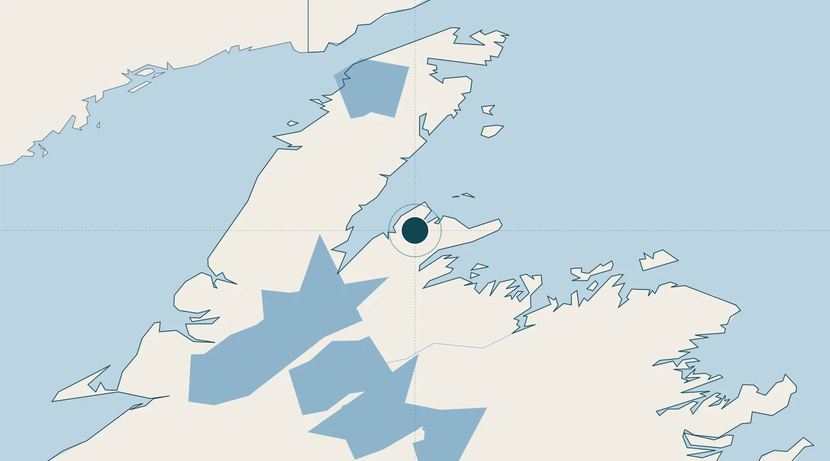
Location
Nearby Logistics Neighbours
Ports
- 1Springdale47 km
- 2Roddickton106 km
- 3Twillingate107 km
- 4Botwood107 km
- 5Lewisporte111 km
Cities
- 1Tilt Cove42 km
- 2Jackson Arm43 km
- 3Springdale49 km
- 4Hampden64 km
- 5Roddickton104 km
Airports
- 1Deer Lake Airport117 km
- 2Fogo Airport144 km
- 3Gander International Airport161 km
- 4St. Anthony Airport164 km
- 5Lourdes-de-Blanc-Sablon Airport183 km
Trade Zones
- 1Crossroads Business Park160 km
- 2Cape Breton Regional Municipality Foreign Trade Zone537 km
- 3Halifax Gateway807 km
- 4Saint John901 km
- 5FTZ No. 179 Madawaska938 km
DatabookThe Record of Consolidated Knowledge
Canada beyond logistics?