Medium airport · Canada
Lourdes-de-Blanc-Sablon AirportCYBX
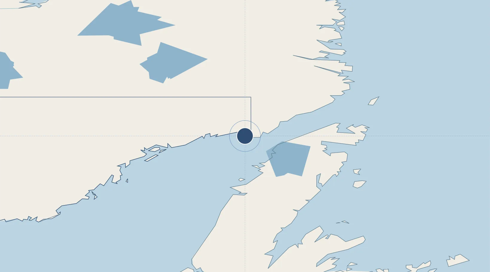
51.4436°, -57.1853°
4,500 ft
Longest runway
1
Runways
121 ft
Elevation
Runway & Layout

Radio Frequencies
RCO
122 MHz
QUEBEC RDO
RDO
122 MHz
MF
Navaids
BX NDB Blanc Sablon 220 kHz
IBX DME Lourdes-De-Blanc-Sablon 109.10 MHz
Runways · 1
| Runway | Dimensions | Surface | True heading | Lit |
|---|---|---|---|---|
| 05/23 | 4,500 × 150ft | Asphalt | 028° | ✓ |
Airport Specifications
IATA code
YBX
ICAO code
CYBX
Airport class
Medium airport
Scheduled service
Yes
Runway surface
Asphalt
Served city
Blanc-Sablon
Location
Nearby Logistics Neighbours
Airports
- 1St. Anthony Airport77 km
- 2St Augustin Airport106 km
- 3Mary's Harbour Airport133 km
- 4Port Hope Simpson Airport135 km
- 5La Tabatière Airport142 km
Cities
- 1L'Anse-au-Loup26 km
- 2Red Bay62 km
- 3Main Brook86 km
- 4Roddickton100 km
- 5Saint-Augustin104 km
Ports
- 1Blanc Sablon5 km
- 2Roddickton98 km
- 3St Anthony113 km
- 4Baie Verte183 km
- 5Springdale230 km
Trade Zones
- 1Crossroads Business Park334 km
- 2Cape Breton Regional Municipality Foreign Trade Zone642 km
- 3Halifax Gateway892 km
- 4FTZ No. 179 Madawaska930 km
- 5Saint John948 km
DatabookThe Record of Consolidated Knowledge
Canada beyond logistics?