Medium airport · Canada
Baker Lake AirportCYBK
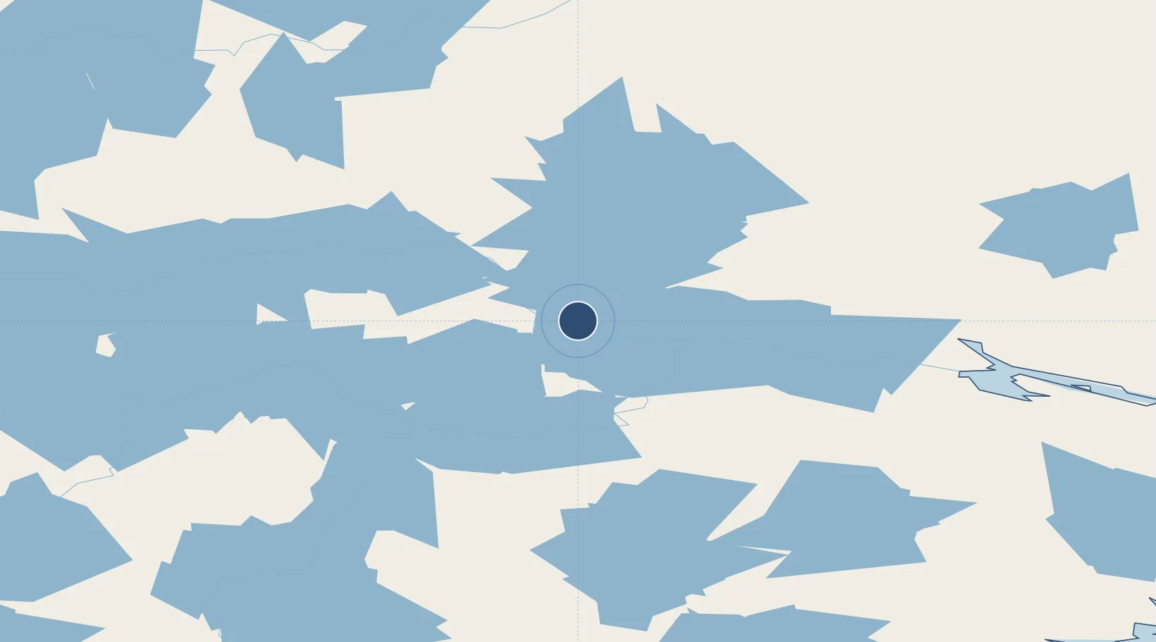
64.2989°, -96.0778°
4,200 ft
Longest runway
1
Runways
59 ft
Elevation
Runway & Layout

Radio Frequencies
FSS
568 MHz
ARCTIC RDO
UNIC
122.1 MHz
ARPT RDO
Navaids
BK NDB Baker Lake 224 kHz
YBK VOR-DME Baker Lake 114.50 MHz
Runways · 1
| Runway | Dimensions | Surface | True heading | Lit |
|---|---|---|---|---|
| 16T/34T | 4,200 × 100ft | Gravel | 162° | ✓ |
Airport Specifications
IATA code
YBK
ICAO code
CYBK
Airport class
Medium airport
Scheduled service
Yes
Runway surface
Gravel
Served city
Baker Lake
Location
Nearby Logistics Neighbours
Airports
- 1Rankin Inlet Airport257 km
- 2Chesterfield Inlet Airport283 km
- 3Whale Cove Airport288 km
- 4Arviat Airport371 km
- 5Gjoa Haven Airport482 km
Cities
- 1Baker Lake3 km
- 2Rankin Inlet258 km
- 3Chesterfield Inlet285 km
- 4Whale Cove295 km
- 5Arviat370 km
Ports
- 1Churchill621 km
- 2Thunder Bay1815 km
- 3Heron Bay1836 km
- 4Grand Marais1873 km
- 5Michipicoten1937 km
Trade Zones
- 1Port Alberta - Edmonton FTZ1534 km
- 2Winnipegs Centreport Canada1603 km
- 3Global Transportation Hub Authority1622 km
- 4FTZ No. 259 Koochiching County1785 km
- 5Calgary Region Inland Port1807 km
DatabookThe Record of Consolidated Knowledge
Canada beyond logistics?