Transport Functions
Port
Rail
Hub Profile
Place type
Populated place
Region
Alberta
Time zone
America/Edmonton
Elevation
666 m
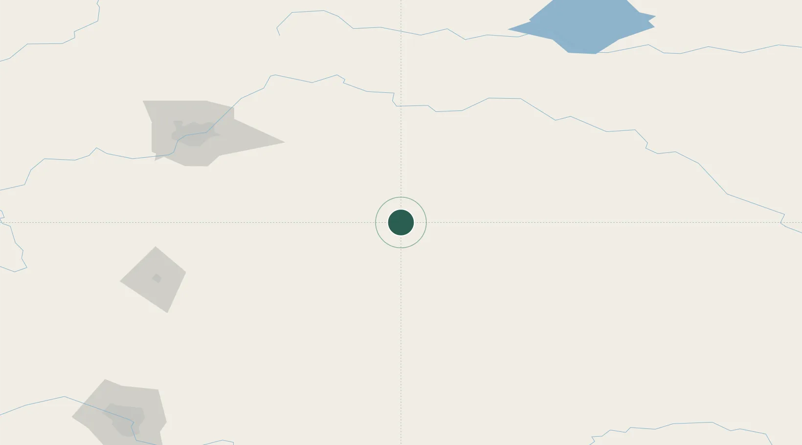
Location
Nearby Logistics Neighbours
Cities
- 1Hardisty28 km
- 2Forestburg33 km
- 3Viking36 km
- 4Wainwright57 km
- 5Castor63 km
Ports
- 1Mission City842 km
- 2Port Coquitlam868 km
- 3Port Moody873 km
- 4Fraser Mills874 km
- 5New Westminster879 km
Airports
- 1Lloydminster Airport123 km
- 2Edmonton International Airport140 km
- 3Red Deer Regional Airport163 km
- 4Bonnyville Airport182 km
- 5CFB Cold Lake204 km
Trade Zones
- 1Port Alberta - Edmonton FTZ146 km
- 2Calgary Region Inland Port251 km
- 3FTZ No. 187 Toole County464 km
- 4Global Transportation Hub Authority544 km
- 5FTZ No. 242 Boundary County574 km
DatabookThe Record of Consolidated Knowledge
Canada beyond logistics?