Transport Functions
Multimodal
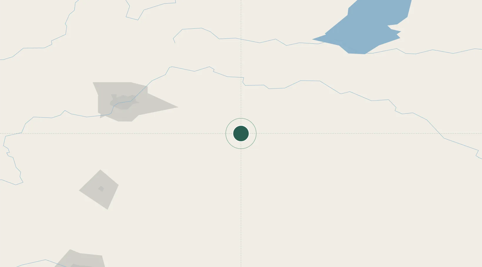
Hub Profile
Place type
Populated place
Region
Alberta
Population
1,106
Time zone
America/Edmonton
Elevation
688 m
Location
Nearby Logistics Neighbours
Cities
- 1Sedgewick36 km
- 2Innisfree37 km
- 3Vegreville48 km
- 4Kingman54 km
- 5Hardisty57 km
Ports
- 1Mission City851 km
- 2Port Coquitlam876 km
- 3Port Moody880 km
- 4Fraser Mills882 km
- 5New Westminster887 km
Airports
- 1Lloydminster Airport117 km
- 2Edmonton International Airport122 km
- 3Bonnyville Airport152 km
- 4Red Deer Regional Airport174 km
- 5CFB Cold Lake177 km
Trade Zones
- 1Port Alberta - Edmonton FTZ119 km
- 2Calgary Region Inland Port275 km
- 3FTZ No. 187 Toole County499 km
- 4Global Transportation Hub Authority566 km
- 5FTZ No. 242 Boundary County597 km
DatabookThe Record of Consolidated Knowledge
Canada beyond logistics?