Transport Functions
Multimodal
Hub Profile
Place type
Populated place
Region
Ontario
Time zone
America/Toronto
Elevation
283 m
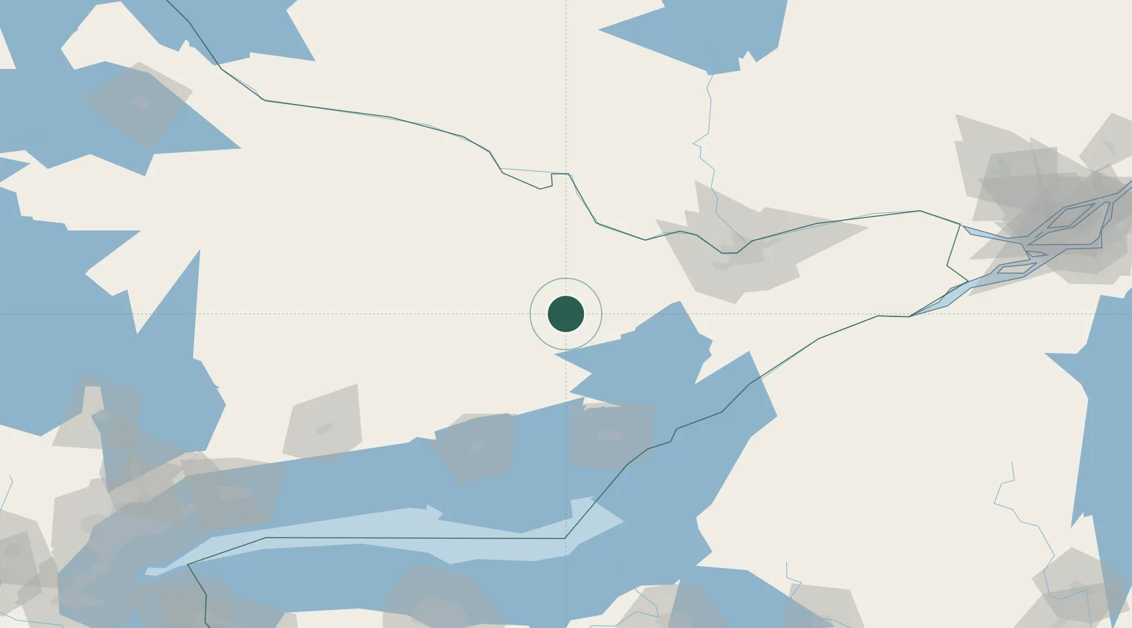
Location
Nearby Logistics Neighbours
Ports
- 1Kingston91 km
- 2Millhaven91 km
- 3Gananoque93 km
- 4Wolfe Island96 km
- 5Rockport100 km
Airports
Trade Zones
- 1FTZ No. 118 Ogdensburg110 km
- 2FTZ No. 109 Watertown137 km
- 3FTZ No. 090 Onondaga176 km
- 4FTZ No. 172 Oneida County208 km
- 5FTZ No. 141 Monroe County213 km
DatabookThe Record of Consolidated Knowledge
Canada beyond logistics?