Transport Functions
Rail
Road
Airport
Hub Profile
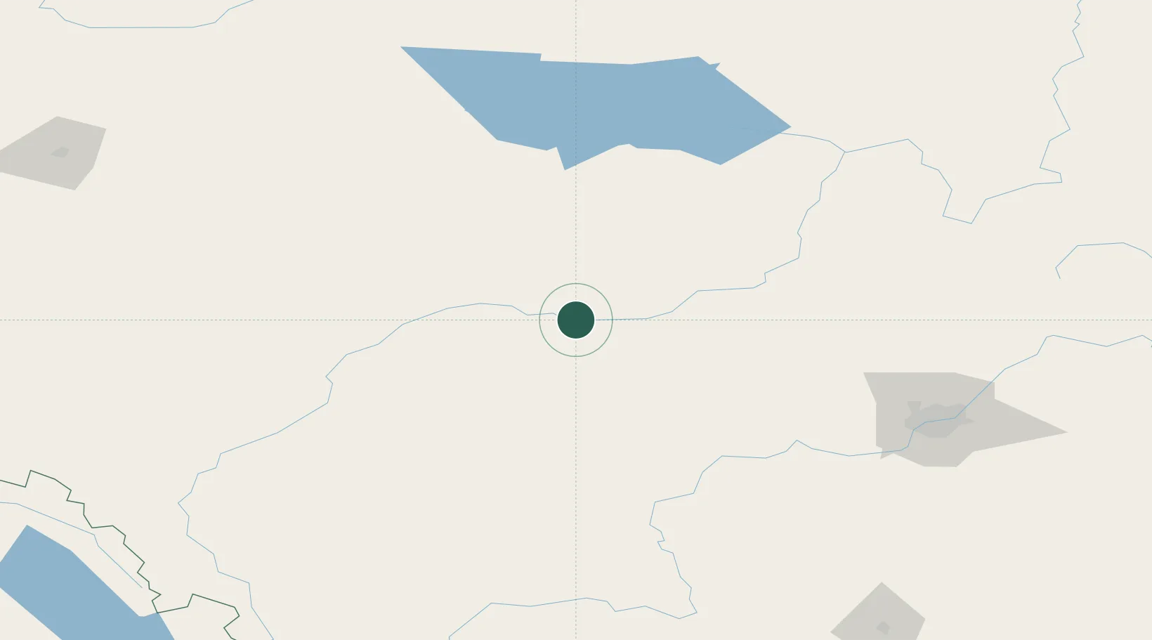
Place type
Populated place
Region
Alberta
Population
8,763
Time zone
America/Edmonton
Elevation
689 m
Location
Nearby Logistics Neighbours
Cities
- 1Mayerthorpe42 km
- 2Peers57 km
- 3Wildwood66 km
- 4Entwistle79 km
- 5Onoway109 km
Ports
- 1Mission City717 km
- 2Port Coquitlam732 km
- 3Port Moody733 km
- 4Fraser Mills737 km
- 5New Westminster742 km
Airports
- 1Whitecourt Airport7 km
- 2Edson Airport82 km
- 3Slave Lake Airport140 km
- 4Edmonton International Airport167 km
- 5Grande Prairie Airport236 km
Trade Zones
- 1Port Alberta - Edmonton FTZ165 km
- 2Calgary Region Inland Port362 km
- 3PrInce George Logistics Park462 km
- 4FTZ No. 242 Boundary County606 km
- 5FTZ No. 187 Toole County660 km
DatabookThe Record of Consolidated Knowledge
Canada beyond logistics?