Transport Functions
Rail
Road
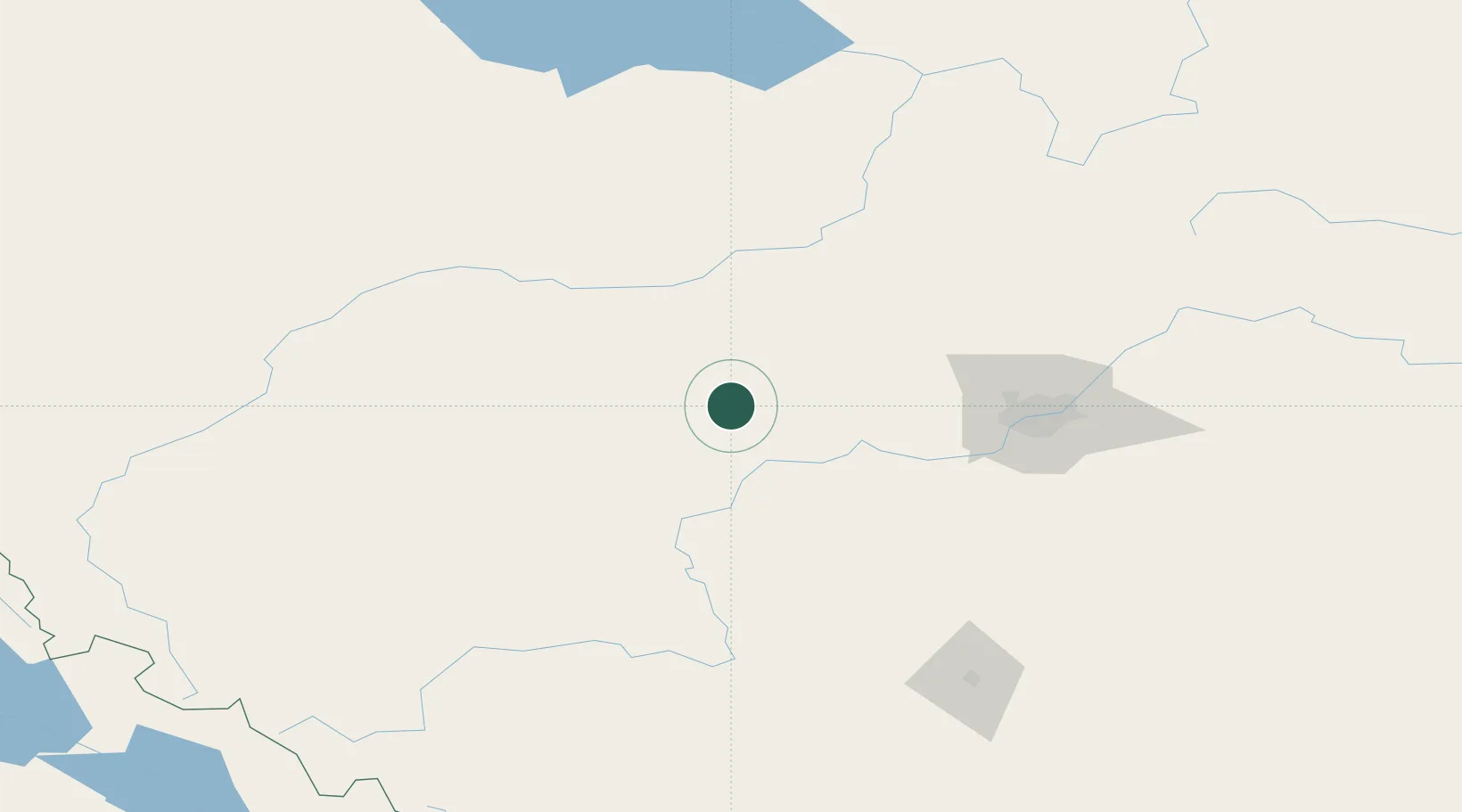
Hub Profile
Place type
Populated place
Region
Alberta
Population
389
Time zone
America/Edmonton
Elevation
735 m
Location
Nearby Logistics Neighbours
Cities
- 1Wildwood18 km
- 2Duffield41 km
- 3Mayerthorpe42 km
- 4Onoway52 km
- 5Warburg62 km
Ports
- 1Mission City706 km
- 2Port Coquitlam725 km
- 3Port Moody727 km
- 4Fraser Mills730 km
- 5New Westminster735 km
Airports
- 1Whitecourt Airport82 km
- 2Edmonton International Airport97 km
- 3Edson Airport99 km
- 4Red Deer Regional Airport172 km
- 5Slave Lake Airport191 km
Trade Zones
- 1Port Alberta - Edmonton FTZ109 km
- 2Calgary Region Inland Port288 km
- 3PrInce George Logistics Park513 km
- 4FTZ No. 242 Boundary County553 km
- 5FTZ No. 187 Toole County584 km
DatabookThe Record of Consolidated Knowledge
Canada beyond logistics?