Transport Functions
Port
Rail
Road
Multimodal
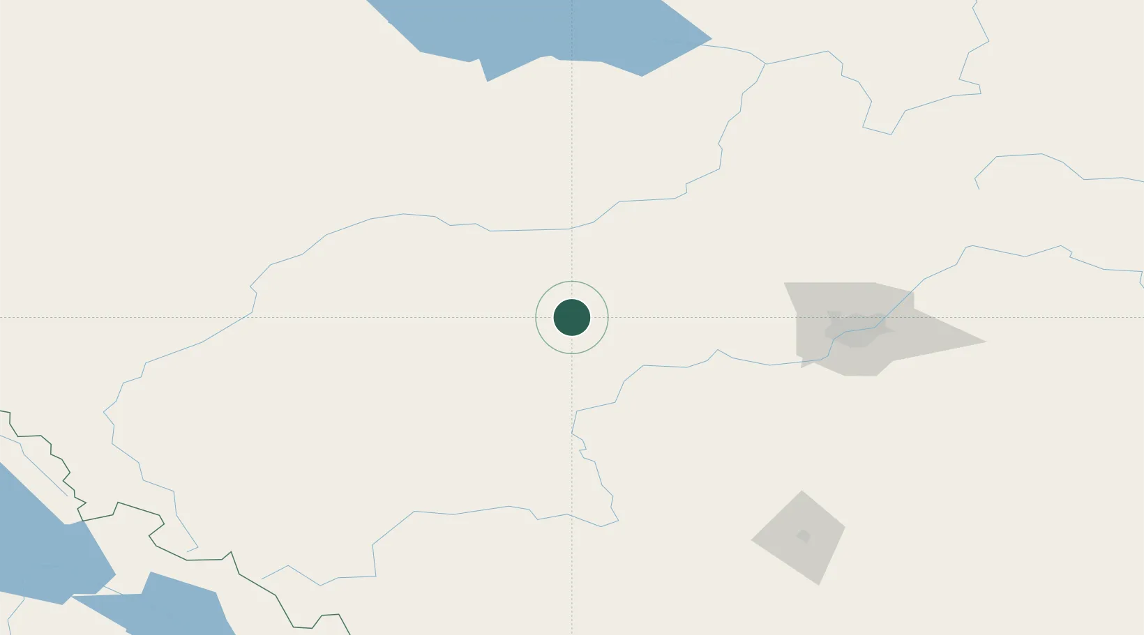
Hub Profile
Place type
Locality
Region
Alberta
Time zone
America/Edmonton
Elevation
789 m
Location
Nearby Logistics Neighbours
Cities
- 1Entwistle18 km
- 2Mayerthorpe38 km
- 3Peers50 km
- 4Duffield59 km
- 5Whitecourt66 km
Ports
- 1Mission City696 km
- 2Port Coquitlam714 km
- 3Port Moody716 km
- 4Fraser Mills719 km
- 5New Westminster724 km
Airports
- 1Whitecourt Airport69 km
- 2Edson Airport81 km
- 3Edmonton International Airport115 km
- 4Red Deer Regional Airport183 km
- 5Slave Lake Airport189 km
Trade Zones
- 1Port Alberta - Edmonton FTZ126 km
- 2Calgary Region Inland Port296 km
- 3PrInce George Logistics Park495 km
- 4FTZ No. 242 Boundary County552 km
- 5FTZ No. 187 Toole County594 km
DatabookThe Record of Consolidated Knowledge
Canada beyond logistics?