Transport Functions
Multimodal
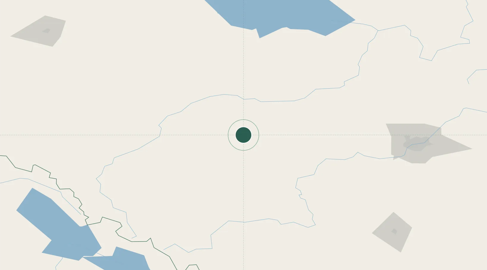
Hub Profile
Place type
Populated place
Region
Alberta
Time zone
America/Edmonton
Elevation
846 m
Location
Nearby Logistics Neighbours
Cities
- 1Wildwood50 km
- 2Whitecourt57 km
- 3Mayerthorpe64 km
- 4Entwistle68 km
- 5Duffield109 km
Ports
- 1Mission City664 km
- 2Port Coquitlam681 km
- 3Port Moody682 km
- 4Fraser Mills686 km
- 5New Westminster691 km
Airports
- 1Edson Airport33 km
- 2Whitecourt Airport55 km
- 3Edmonton International Airport164 km
- 4Slave Lake Airport197 km
- 5Red Deer Regional Airport217 km
Trade Zones
- 1Port Alberta - Edmonton FTZ175 km
- 2Calgary Region Inland Port319 km
- 3PrInce George Logistics Park445 km
- 4FTZ No. 242 Boundary County550 km
- 5FTZ No. 187 Toole County619 km
DatabookThe Record of Consolidated Knowledge
Canada beyond logistics?