Transport Functions
Rail
Road
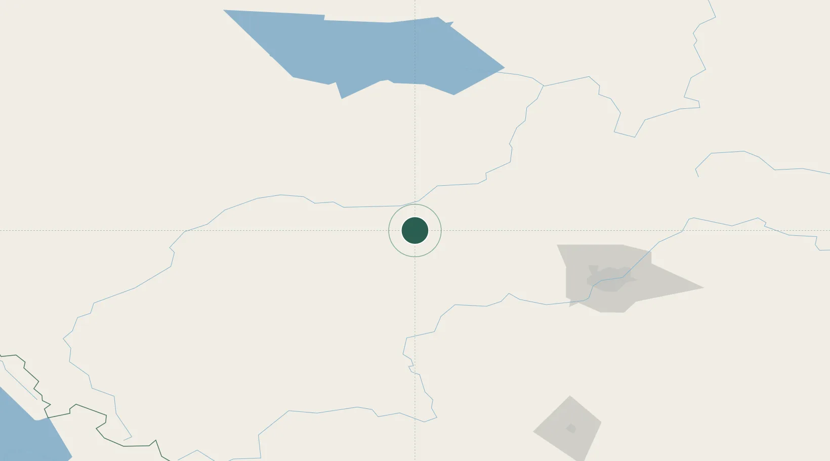
Hub Profile
Place type
Populated place
Region
Alberta
Population
1,320
Time zone
America/Edmonton
Elevation
716 m
Location
Nearby Logistics Neighbours
Cities
- 1Wildwood38 km
- 2Entwistle42 km
- 3Whitecourt42 km
- 4Peers64 km
- 5Onoway67 km
Ports
- 1Mission City726 km
- 2Port Coquitlam743 km
- 3Port Moody745 km
- 4Fraser Mills748 km
- 5New Westminster753 km
Airports
- 1Whitecourt Airport48 km
- 2Edson Airport97 km
- 3Edmonton International Airport125 km
- 4Slave Lake Airport151 km
- 5Red Deer Regional Airport213 km
Trade Zones
- 1Port Alberta - Edmonton FTZ124 km
- 2Calgary Region Inland Port330 km
- 3PrInce George Logistics Park498 km
- 4FTZ No. 242 Boundary County590 km
- 5FTZ No. 187 Toole County626 km
DatabookThe Record of Consolidated Knowledge
Canada beyond logistics?