Transport Functions
Rail
Road
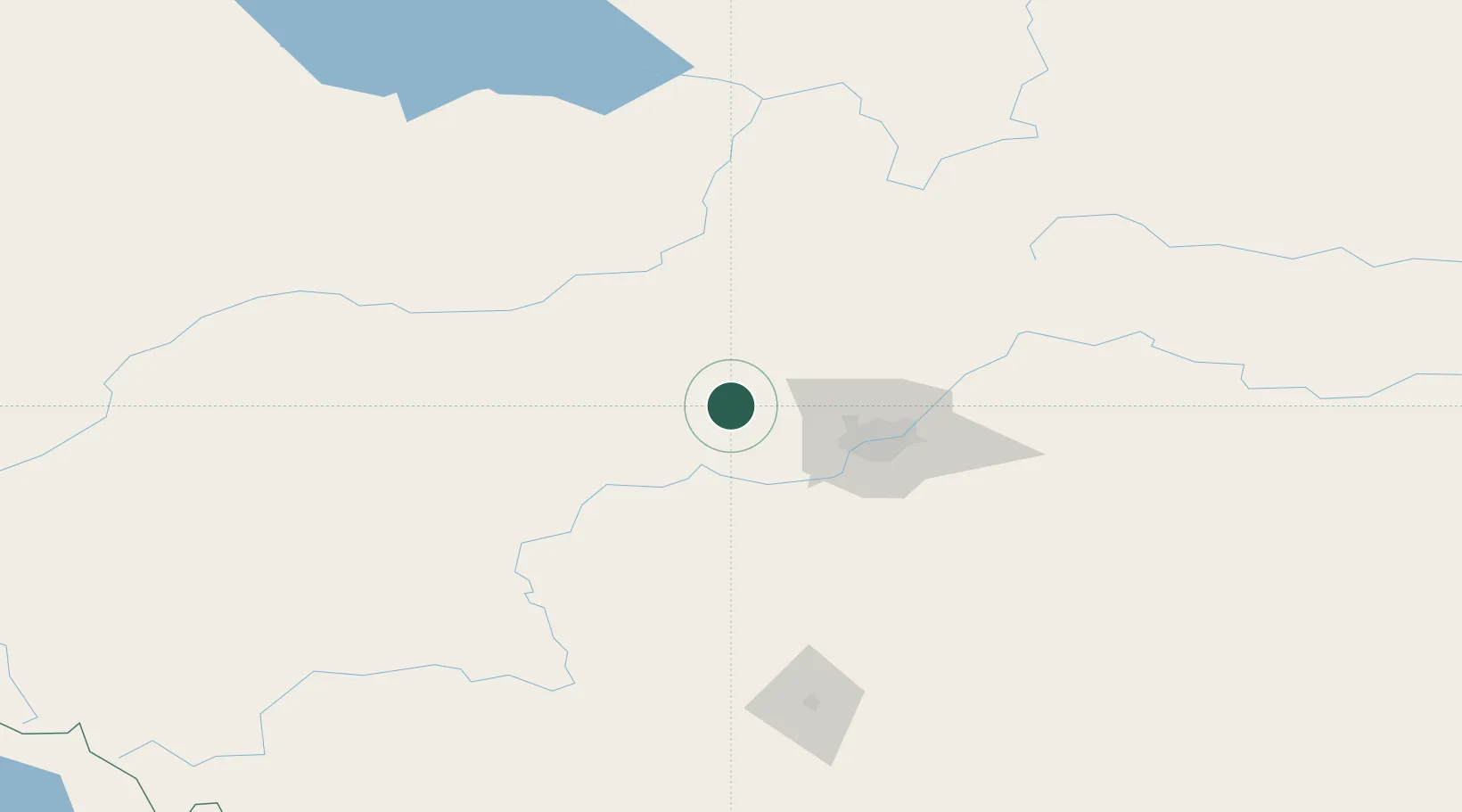
Hub Profile
Place type
Populated place
Region
Alberta
Time zone
America/Edmonton
Elevation
711 m
Location
Nearby Logistics Neighbours
Cities
- 1Duffield21 km
- 2Acheson32 km
- 3Saint Albert38 km
- 4Pickardville44 km
- 5Lancaster Park47 km
Ports
- 1Mission City753 km
- 2Port Coquitlam773 km
- 3Port Moody775 km
- 4Fraser Mills778 km
- 5New Westminster783 km
Airports
- 1Edmonton International Airport60 km
- 2Whitecourt Airport115 km
- 3Edson Airport150 km
- 4Red Deer Regional Airport170 km
- 5Slave Lake Airport181 km
Trade Zones
- 1Port Alberta - Edmonton FTZ58 km
- 2Calgary Region Inland Port295 km
- 3PrInce George Logistics Park562 km
- 4FTZ No. 242 Boundary County580 km
- 5FTZ No. 187 Toole County582 km
DatabookThe Record of Consolidated Knowledge
Canada beyond logistics?