Transport Functions
Rail
Road
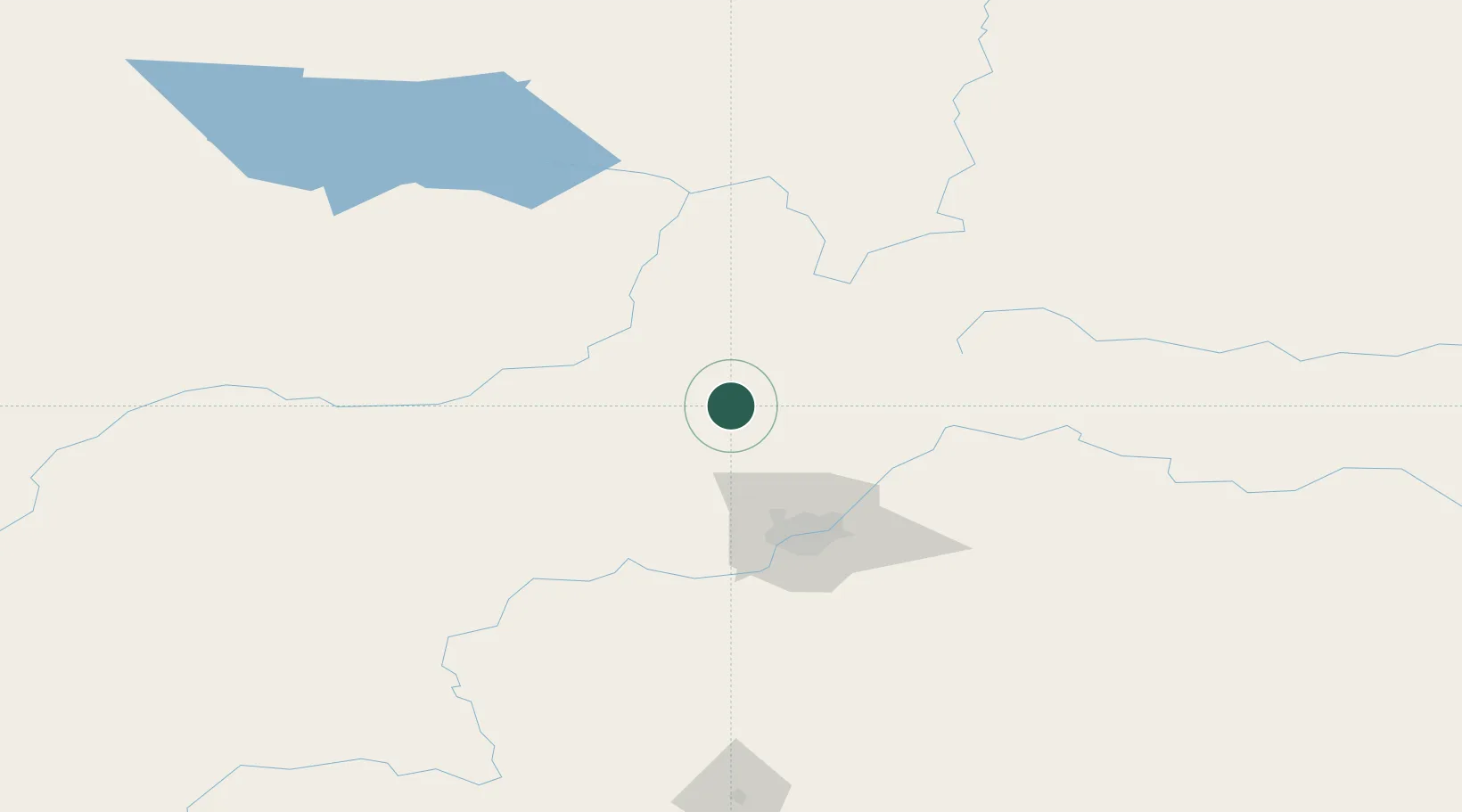
Hub Profile
Place type
Populated place
Region
Alberta
Population
4,678
Time zone
America/Edmonton
Elevation
651 m
Location
Nearby Logistics Neighbours
Cities
- 1Pickardville11 km
- 2Legal30 km
- 3Rochester35 km
- 4Thorhild48 km
- 5Gibbons50 km
Ports
- 1Mission City803 km
- 2Port Coquitlam822 km
- 3Port Moody824 km
- 4Fraser Mills827 km
- 5New Westminster832 km
Airports
- 1Edmonton International Airport95 km
- 2Whitecourt Airport126 km
- 3Slave Lake Airport140 km
- 4Edson Airport183 km
- 5Bonnyville Airport203 km
Trade Zones
- 1Port Alberta - Edmonton FTZ67 km
- 2Calgary Region Inland Port345 km
- 3PrInce George Logistics Park581 km
- 4FTZ No. 187 Toole County626 km
- 5FTZ No. 242 Boundary County635 km
DatabookThe Record of Consolidated Knowledge
Canada beyond logistics?