Transport Functions
Rail
Road
Hub Profile
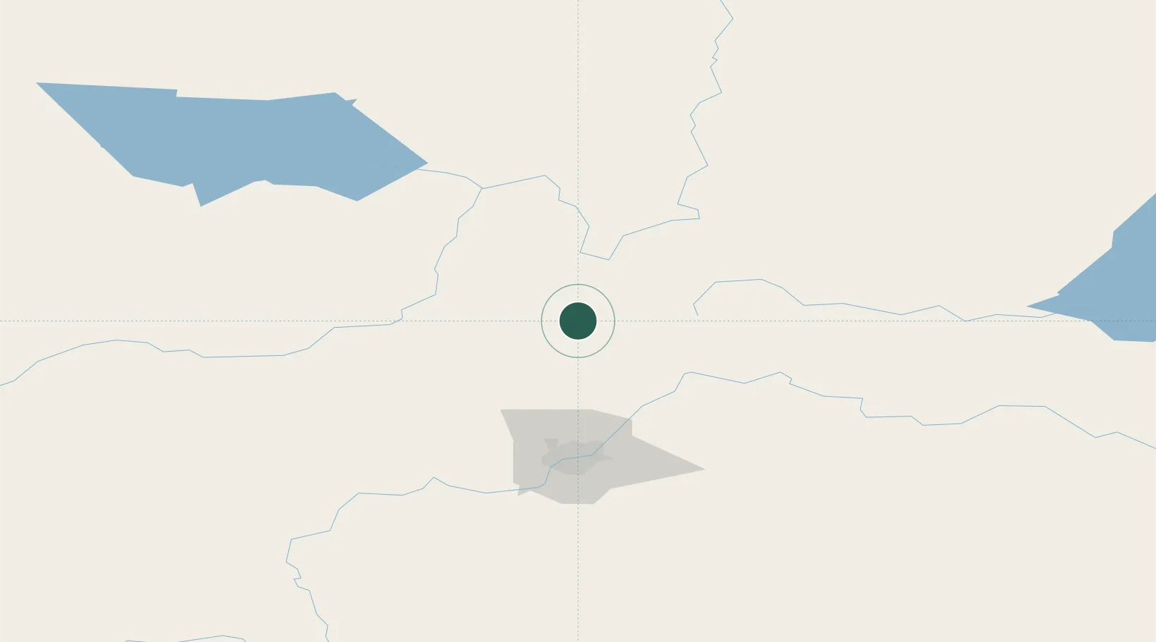
Region
AB
Location
Nearby Logistics Neighbours
Cities
- 1Thorhild32 km
- 2Westlock35 km
- 3Newbrook35 km
- 4Pickardville44 km
- 5Legal49 km
Ports
- 1Mission City837 km
- 2Port Coquitlam856 km
- 3Port Moody858 km
- 4Fraser Mills861 km
- 5New Westminster866 km
Airports
- 1Edmonton International Airport118 km
- 2Slave Lake Airport133 km
- 3Whitecourt Airport153 km
- 4Bonnyville Airport177 km
- 5CFB Cold Lake206 km
Trade Zones
- 1Port Alberta - Edmonton FTZ82 km
- 2Calgary Region Inland Port371 km
- 3PrInce George Logistics Park606 km
- 4FTZ No. 187 Toole County646 km
- 5FTZ No. 242 Boundary County666 km
DatabookThe Record of Consolidated Knowledge
Canada beyond logistics?