Transport Functions
Rail
Road
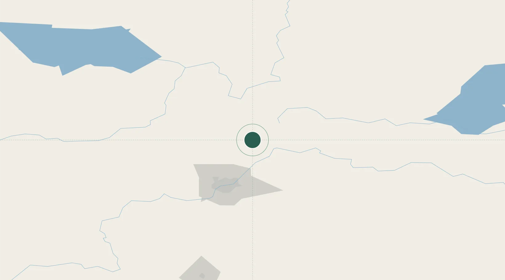
Hub Profile
Place type
Populated place
Region
Alberta
Time zone
America/Edmonton
Elevation
650 m
Location
Nearby Logistics Neighbours
Ports
- 1Mission City841 km
- 2Port Coquitlam861 km
- 3Port Moody863 km
- 4Fraser Mills866 km
- 5New Westminster871 km
Airports
- 1Edmonton International Airport100 km
- 2Bonnyville Airport155 km
- 3Slave Lake Airport165 km
- 4Whitecourt Airport174 km
- 5CFB Cold Lake186 km
Trade Zones
- 1Port Alberta - Edmonton FTZ61 km
- 2Calgary Region Inland Port352 km
- 3FTZ No. 187 Toole County621 km
- 4PrInce George Logistics Park629 km
- 5FTZ No. 242 Boundary County654 km
DatabookThe Record of Consolidated Knowledge
Canada beyond logistics?