Transport Functions
Rail
Road
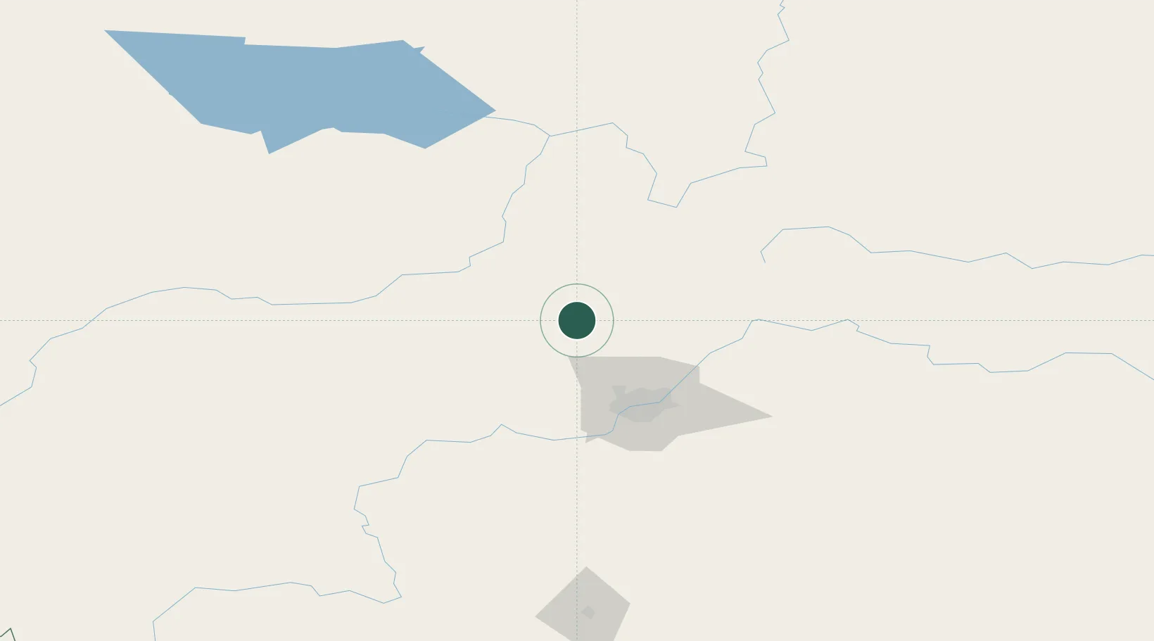
Hub Profile
Place type
Populated place
Region
Alberta
Time zone
America/Edmonton
Elevation
694 m
Location
Nearby Logistics Neighbours
Ports
- 1Mission City794 km
- 2Port Coquitlam813 km
- 3Port Moody815 km
- 4Fraser Mills818 km
- 5New Westminster823 km
Airports
- 1Edmonton International Airport85 km
- 2Whitecourt Airport125 km
- 3Slave Lake Airport150 km
- 4Edson Airport177 km
- 5Bonnyville Airport206 km
Trade Zones
- 1Port Alberta - Edmonton FTZ59 km
- 2Calgary Region Inland Port334 km
- 3PrInce George Logistics Park580 km
- 4FTZ No. 187 Toole County615 km
- 5FTZ No. 242 Boundary County623 km
DatabookThe Record of Consolidated Knowledge
Canada beyond logistics?