Transport Functions
Rail
Road
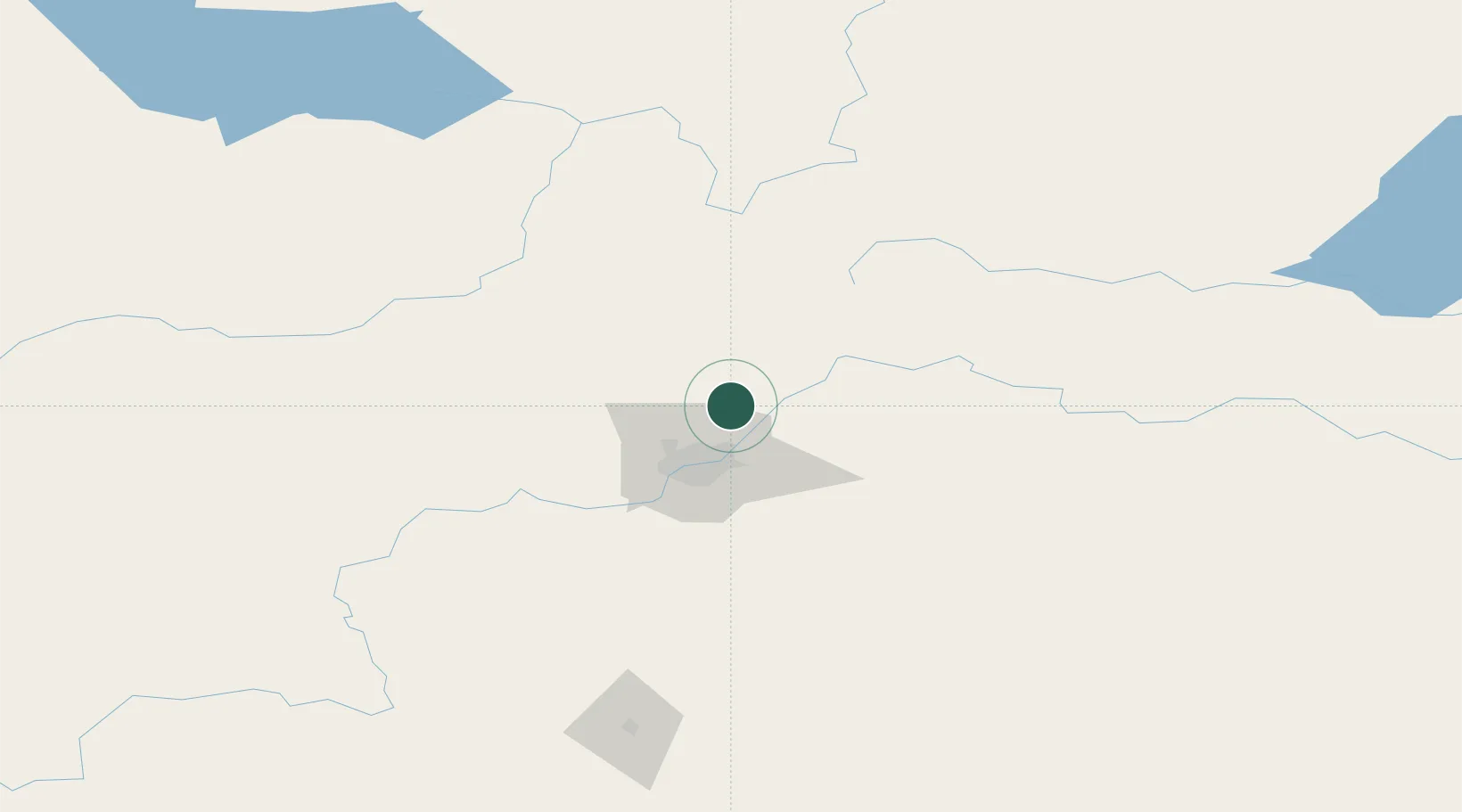
Hub Profile
Place type
Populated place
Region
Alberta
Population
2,790
Time zone
America/Edmonton
Elevation
633 m
Location
Nearby Logistics Neighbours
Cities
- 1Fort Saskatchewan16 km
- 2Lancaster Park19 km
- 3Redwater21 km
- 4Legal21 km
- 5Bruderheim27 km
Ports
- 1Mission City806 km
- 2Port Coquitlam827 km
- 3Port Moody830 km
- 4Fraser Mills832 km
- 5New Westminster838 km
Airports
- 1Edmonton International Airport59 km
- 2Whitecourt Airport165 km
- 3Bonnyville Airport178 km
- 4Red Deer Regional Airport186 km
- 5Slave Lake Airport189 km
Trade Zones
- 1Port Alberta - Edmonton FTZ21 km
- 2Calgary Region Inland Port312 km
- 3FTZ No. 187 Toole County584 km
- 4FTZ No. 242 Boundary County613 km
- 5PrInce George Logistics Park617 km
DatabookThe Record of Consolidated Knowledge
Canada beyond logistics?