Transport Functions
Rail
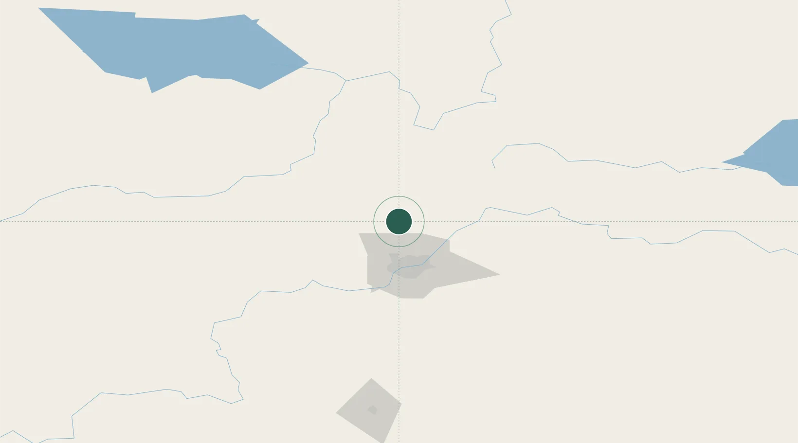
Hub Profile
Place type
Populated place
Region
Alberta
Time zone
America/Edmonton
Elevation
695 m
Location
Nearby Logistics Neighbours
Cities
- 1Gibbons21 km
- 2Pickardville24 km
- 3Westlock30 km
- 4Lancaster Park30 km
- 5Redwater31 km
Ports
- 1Mission City801 km
- 2Port Coquitlam821 km
- 3Port Moody823 km
- 4Fraser Mills826 km
- 5New Westminster831 km
Airports
- 1Edmonton International Airport69 km
- 2Whitecourt Airport146 km
- 3Slave Lake Airport170 km
- 4Bonnyville Airport190 km
- 5Edson Airport194 km
Trade Zones
- 1Port Alberta - Edmonton FTZ38 km
- 2Calgary Region Inland Port322 km
- 3FTZ No. 187 Toole County599 km
- 4PrInce George Logistics Park600 km
- 5FTZ No. 242 Boundary County619 km
DatabookThe Record of Consolidated Knowledge
Canada beyond logistics?