Transport Functions
Rail
Road
Hub Profile
Place type
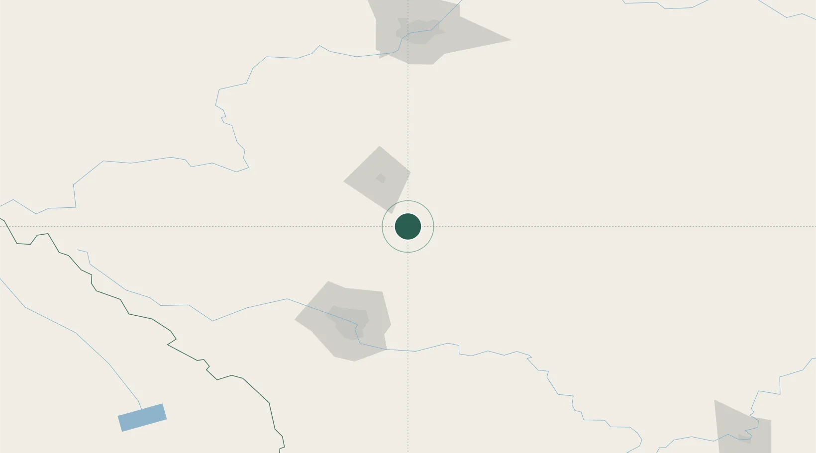
Populated place
Region
Alberta
Time zone
America/Edmonton
Elevation
992 m
Location
Nearby Logistics Neighbours
Cities
- 1Trochu24 km
- 2Three Hills29 km
- 3Olds52 km
- 4Carbon52 km
- 5Sylvan Lake61 km
Ports
- 1Mission City683 km
- 2Port Coquitlam711 km
- 3Port Moody716 km
- 4Fraser Mills717 km
- 5Bellingham721 km
Airports
- 1Red Deer Regional Airport41 km
- 2Calgary International Airport88 km
- 3Calgary / Springbank Airport101 km
- 4Edmonton International Airport161 km
- 5Golden Airport243 km
Trade Zones
- 1Calgary Region Inland Port97 km
- 2Port Alberta - Edmonton FTZ197 km
- 3FTZ No. 187 Toole County374 km
- 4FTZ No. 242 Boundary County416 km
- 5FTZ No. 088 Great Falls509 km
DatabookThe Record of Consolidated Knowledge
Canada beyond logistics?