Transport Functions
Port
Rail
Road
Multimodal
Hub Profile
Place type
Populated place
Region
Alberta
Time zone
America/Edmonton
Elevation
863 m
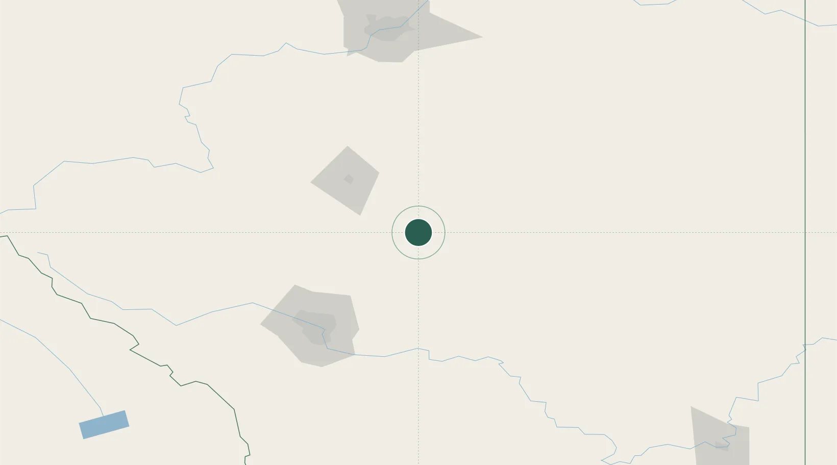
Location
Nearby Logistics Neighbours
Cities
- 1Three Hills15 km
- 2Wimborne24 km
- 3Carbon39 km
- 4Irricana63 km
- 5Olds76 km
Ports
- 1Mission City704 km
- 2Port Coquitlam733 km
- 3Port Moody738 km
- 4Fraser Mills739 km
- 5Bellingham742 km
Airports
Trade Zones
- 1Calgary Region Inland Port105 km
- 2Port Alberta - Edmonton FTZ200 km
- 3FTZ No. 187 Toole County365 km
- 4FTZ No. 242 Boundary County427 km
- 5FTZ No. 088 Great Falls498 km
DatabookThe Record of Consolidated Knowledge
Canada beyond logistics?