Transport Functions
Port
Rail
Road
Multimodal
Hub Profile
Place type
Populated place
Region
Alberta
Population
3,051
Time zone
America/Edmonton
Elevation
897 m
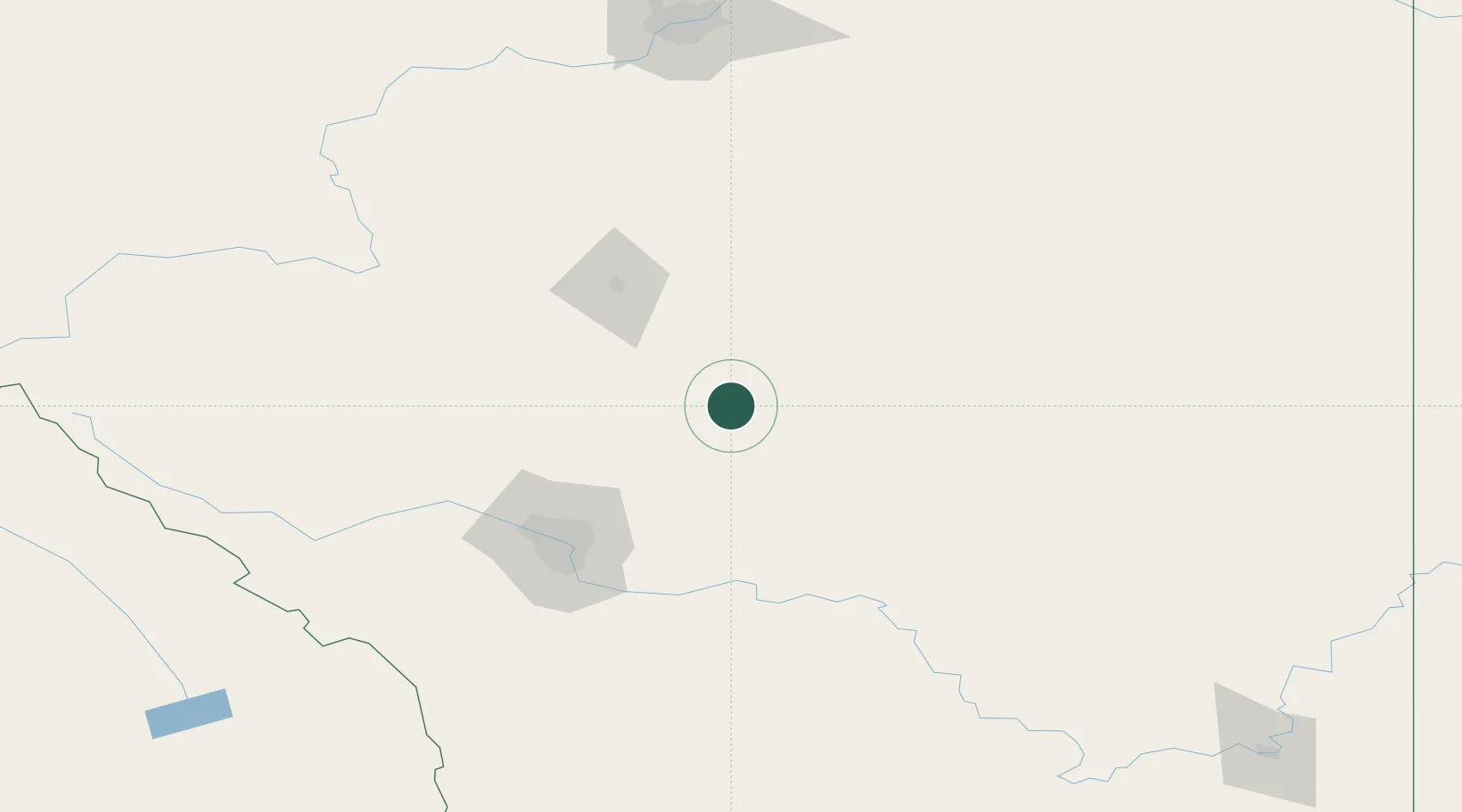
Location
Nearby Logistics Neighbours
Ports
- 1Mission City697 km
- 2Port Coquitlam726 km
- 3Port Moody731 km
- 4Fraser Mills732 km
- 5Bellingham734 km
Airports
Trade Zones
- 1Calgary Region Inland Port91 km
- 2Port Alberta - Edmonton FTZ215 km
- 3FTZ No. 187 Toole County351 km
- 4FTZ No. 242 Boundary County414 km
- 5FTZ No. 088 Great Falls485 km
DatabookThe Record of Consolidated Knowledge
Canada beyond logistics?