UN/LOCODE hub · Canada
CASYL

Sylvan Lake

52.3167°, -114.0833°
17,477
Population
4
Transport functions

Transport Functions

Port
Rail
Road
Multimodal
UN/LOCODE

Hub Profile

Place type
Populated place
GeoNames
Region
Alberta
GeoNames
Population
17,477
GeoNames
Time zone
America/Edmonton
GeoNames
Elevation
940 m
GeoNames

Location

Location of CASYL
Natural Earth 10m (public domain) · Alberta · CASYL · 52.32, -114.08GoogleOSMYandex

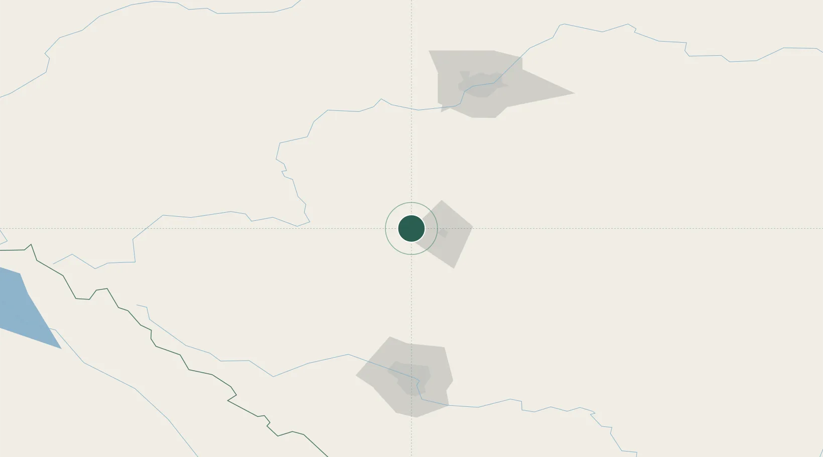
Nearby Logistics Neighbours

Cities
  1. 1Leire35 km
  2. 2Alhambra40 km
  3. 3Olds58 km
  4. 4Wimborne61 km
  5. 5Winfield76 km
Nearest neighbours — logibook spatial index (haversine) over the source coordinates
Ports
  1. 1Mission City674 km
  2. 2Port Coquitlam700 km
  3. 3Port Moody704 km
  4. 4Fraser Mills706 km
  5. 5New Westminster711 km
Nearest neighbours — logibook spatial index (haversine) over the source coordinates
Airports
  1. 1Red Deer Regional Airport20 km
  2. 2Edmonton International Airport116 km
  3. 3Calgary International Airport133 km
  4. 4Calgary / Springbank Airport136 km
  5. 5Edson Airport213 km
Nearest neighbours — logibook spatial index (haversine) over the source coordinates
Trade Zones
  1. 1Calgary Region Inland Port141 km
  2. 2Port Alberta - Edmonton FTZ155 km
  3. 3FTZ No. 187 Toole County431 km
  4. 4FTZ No. 242 Boundary County441 km
  5. 5FTZ No. 088 Great Falls567 km
Nearest neighbours — logibook spatial index (haversine) over the source coordinates
DatabookThe Record of Consolidated Knowledge
Canada beyond logistics?
Browse databook

All Sources

LocationsUN/LOCODE
UN/LOCODE — free
LocationsGeoNames
CC BY 4.0
Portsthe NGA World Port Index
Public domain (US gov)
AirportsOurAirports
Public domain
Trade Zonesthe World Bank SEZ database
CC BY 4.0
Trade ZonesOpen Zone Map
CC BY
← Canada locations