Transport Functions
Road
Multimodal
Hub Profile
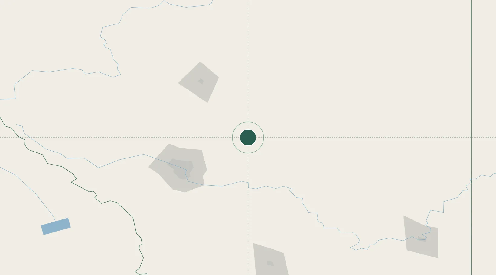
Place type
Populated place
Region
Alberta
Population
492
Time zone
America/Edmonton
Elevation
772 m
Location
Nearby Logistics Neighbours
Cities
- 1Three Hills25 km
- 2Irricana37 km
- 3Trochu39 km
- 4Standard42 km
- 5Wimborne52 km
Ports
- 1Mission City696 km
- 2Port Coquitlam726 km
- 3Port Moody732 km
- 4Bellingham732 km
- 5Fraser Mills732 km
Airports
Trade Zones
- 1Calgary Region Inland Port80 km
- 2Port Alberta - Edmonton FTZ239 km
- 3FTZ No. 187 Toole County326 km
- 4FTZ No. 242 Boundary County401 km
- 5FTZ No. 088 Great Falls459 km
DatabookThe Record of Consolidated Knowledge
Canada beyond logistics?