Transport Functions
Rail
Road
Hub Profile
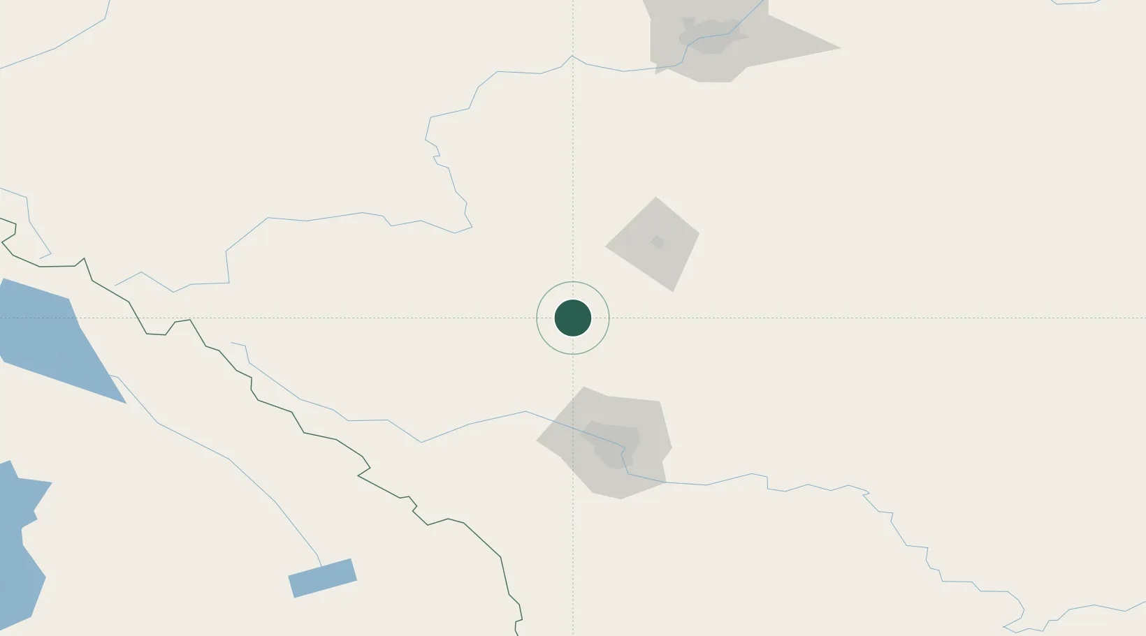
Place type
Populated place
Region
Alberta
Population
8,944
Time zone
America/Edmonton
Elevation
1,039 m
Location
Nearby Logistics Neighbours
Cities
- 1Wimborne52 km
- 2Sylvan Lake58 km
- 3Alhambra65 km
- 4Balzac70 km
- 5Irricana75 km
Ports
- 1Mission City634 km
- 2Port Coquitlam661 km
- 3Port Moody666 km
- 4Fraser Mills667 km
- 5Bellingham673 km
Airports
- 1Red Deer Regional Airport51 km
- 2Calgary / Springbank Airport79 km
- 3Calgary International Airport81 km
- 4Edmonton International Airport174 km
- 5Golden Airport192 km
Trade Zones
- 1Calgary Region Inland Port87 km
- 2Port Alberta - Edmonton FTZ213 km
- 3FTZ No. 242 Boundary County384 km
- 4FTZ No. 187 Toole County385 km
- 5FTZ No. 224 Spokane513 km
DatabookThe Record of Consolidated Knowledge
Canada beyond logistics?