Transport Functions
Rail
Road
Hub Profile
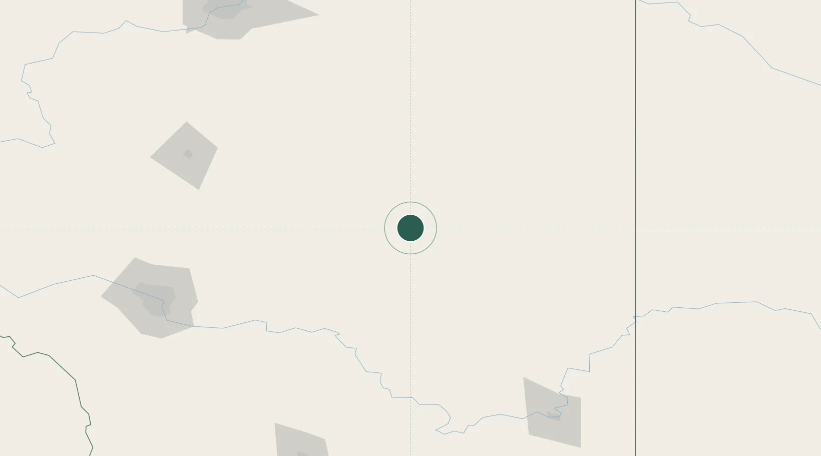
Place type
Populated place
Region
Alberta
Population
3,140
Time zone
America/Edmonton
Elevation
826 m
Location
Nearby Logistics Neighbours
Ports
- 1Mission City783 km
- 2Port Coquitlam813 km
- 3Bellingham818 km
- 4Port Moody819 km
- 5Fraser Mills819 km
Airports
- 1Red Deer Regional Airport148 km
- 2Calgary International Airport157 km
- 3Calgary / Springbank Airport181 km
- 4Kindersley Airport190 km
- 5Medicine Hat Regional Airport200 km
Trade Zones
- 1Calgary Region Inland Port164 km
- 2Port Alberta - Edmonton FTZ240 km
- 3FTZ No. 187 Toole County339 km
- 4FTZ No. 088 Great Falls462 km
- 5FTZ No. 242 Boundary County475 km
DatabookThe Record of Consolidated Knowledge
Canada beyond logistics?