Transport Functions
Rail
Road
Hub Profile
Place type
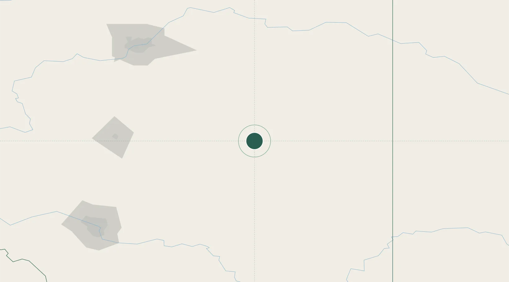
Populated place
Region
Alberta
Time zone
America/Edmonton
Elevation
812 m
Location
Nearby Logistics Neighbours
Cities
- 1Forestburg42 km
- 2Veteran59 km
- 3Sedgewick63 km
- 4Hanna63 km
- 5Hardisty65 km
Ports
- 1Mission City805 km
- 2Port Coquitlam833 km
- 3Port Moody838 km
- 4Fraser Mills839 km
- 5Bellingham842 km
Airports
- 1Red Deer Regional Airport136 km
- 2Edmonton International Airport166 km
- 3Lloydminster Airport173 km
- 4Calgary International Airport190 km
- 5Kindersley Airport202 km
Trade Zones
- 1Port Alberta - Edmonton FTZ184 km
- 2Calgary Region Inland Port198 km
- 3FTZ No. 187 Toole County402 km
- 4FTZ No. 242 Boundary County519 km
- 5FTZ No. 088 Great Falls525 km
DatabookThe Record of Consolidated Knowledge
Canada beyond logistics?