Transport Functions
Rail
Road
Hub Profile
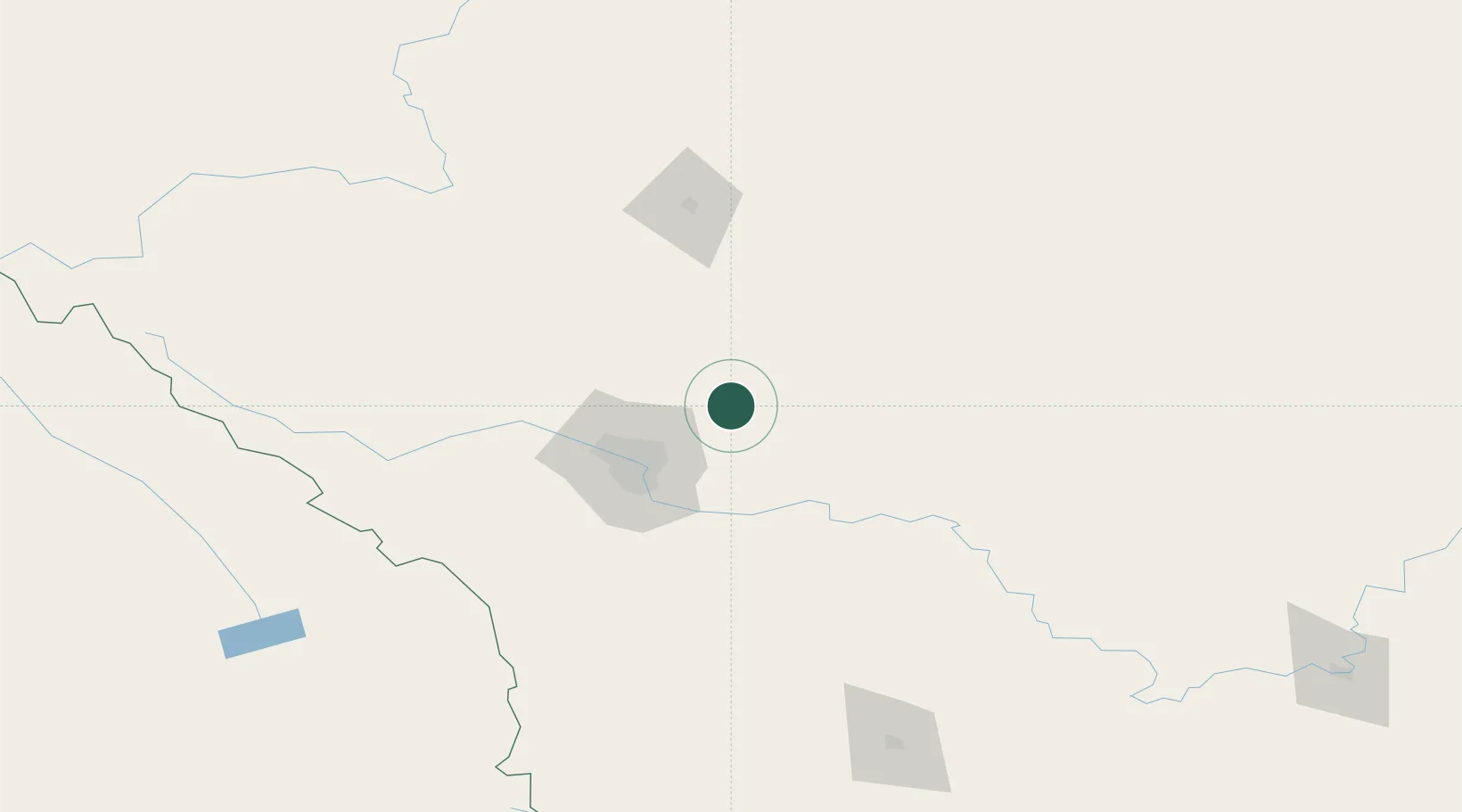
Place type
Populated place
Region
Alberta
Population
1,216
Time zone
America/Edmonton
Elevation
935 m
Location
Nearby Logistics Neighbours
Cities
- 1Rocky View County28 km
- 2Balzac30 km
- 3Chestermere35 km
- 4Carbon37 km
- 5Langdon39 km
Ports
- 1Mission City660 km
- 2Port Coquitlam690 km
- 3Bellingham695 km
- 4Port Moody695 km
- 5Fraser Mills696 km
Airports
- 1Calgary International Airport35 km
- 2Calgary / Springbank Airport58 km
- 3Red Deer Regional Airport98 km
- 4Lethbridge County Airport196 km
- 5Pincher Creek Airport202 km
Trade Zones
- 1Calgary Region Inland Port43 km
- 2Port Alberta - Edmonton FTZ258 km
- 3FTZ No. 187 Toole County316 km
- 4FTZ No. 242 Boundary County366 km
- 5FTZ No. 088 Great Falls452 km
DatabookThe Record of Consolidated Knowledge
Canada beyond logistics?