Transport Functions
Rail
Road
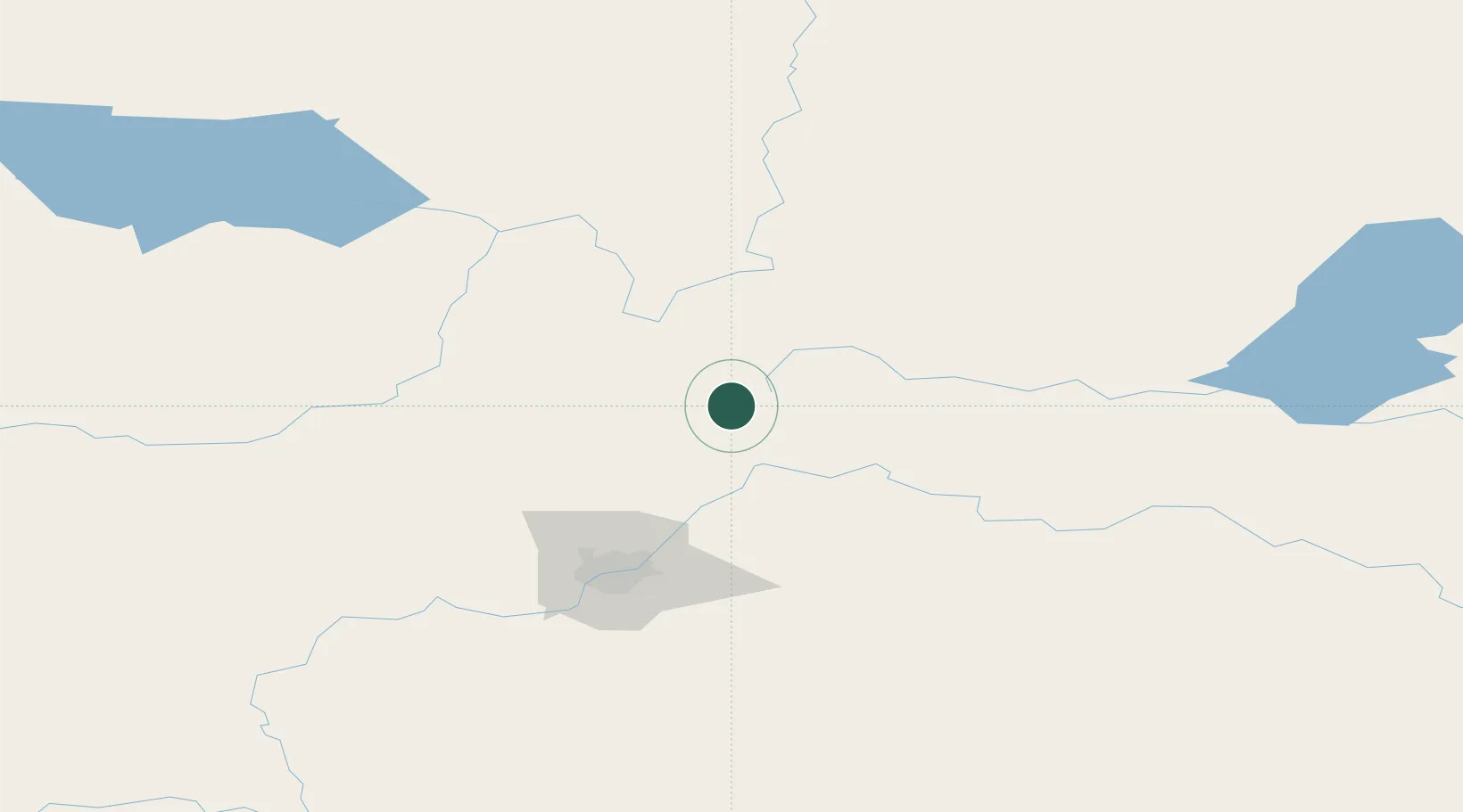
Hub Profile
Place type
Populated place
Region
Alberta
Time zone
America/Edmonton
Elevation
670 m
Location
Nearby Logistics Neighbours
Cities
- 1Thorhild22 km
- 2Rochester35 km
- 3Smoky Lake39 km
- 4Redwater44 km
- 5Bruderheim59 km
Ports
- 1Mission City862 km
- 2Port Coquitlam881 km
- 3Port Moody884 km
- 4Fraser Mills887 km
- 5New Westminster892 km
Airports
- 1Edmonton International Airport122 km
- 2Bonnyville Airport142 km
- 3Slave Lake Airport159 km
- 4CFB Cold Lake172 km
- 5Whitecourt Airport187 km
Trade Zones
- 1Port Alberta - Edmonton FTZ82 km
- 2Calgary Region Inland Port373 km
- 3FTZ No. 187 Toole County638 km
- 4PrInce George Logistics Park641 km
- 5FTZ No. 242 Boundary County676 km
DatabookThe Record of Consolidated Knowledge
Canada beyond logistics?