Transport Functions
Rail
Road
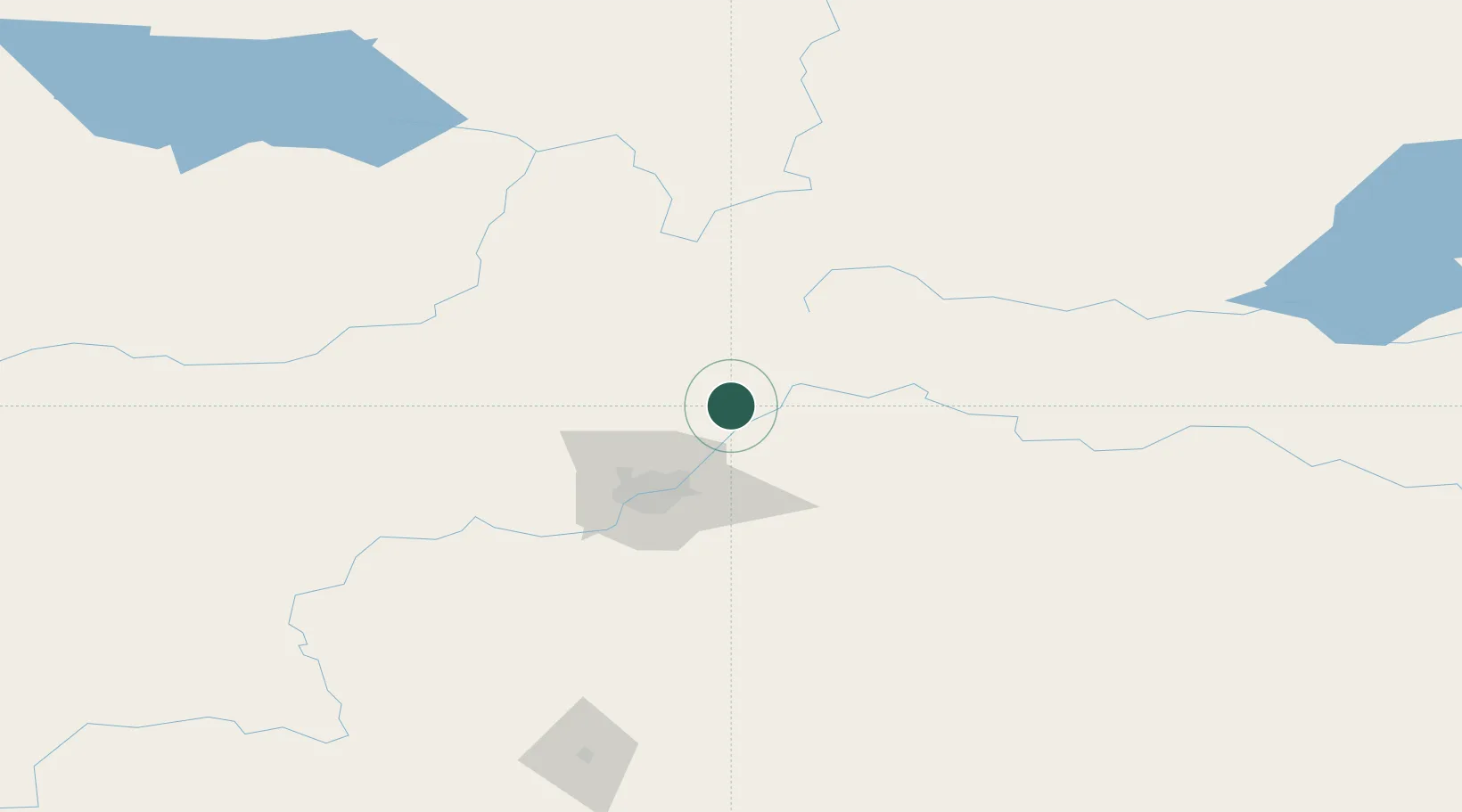
Hub Profile
Place type
Populated place
Region
Alberta
Time zone
America/Edmonton
Elevation
629 m
Location
Nearby Logistics Neighbours
Cities
- 1Gibbons21 km
- 2Bruderheim21 km
- 3Thorhild24 km
- 4Fort Saskatchewan28 km
- 5Legal31 km
Ports
- 1Mission City827 km
- 2Port Coquitlam847 km
- 3Port Moody850 km
- 4Fraser Mills853 km
- 5New Westminster858 km
Airports
- 1Edmonton International Airport78 km
- 2Bonnyville Airport160 km
- 3Whitecourt Airport176 km
- 4Slave Lake Airport184 km
- 5CFB Cold Lake192 km
Trade Zones
- 1Port Alberta - Edmonton FTZ38 km
- 2Calgary Region Inland Port329 km
- 3FTZ No. 187 Toole County597 km
- 4PrInce George Logistics Park630 km
- 5FTZ No. 242 Boundary County633 km
DatabookThe Record of Consolidated Knowledge
Canada beyond logistics?