Transport Functions
Rail
Road
Hub Profile
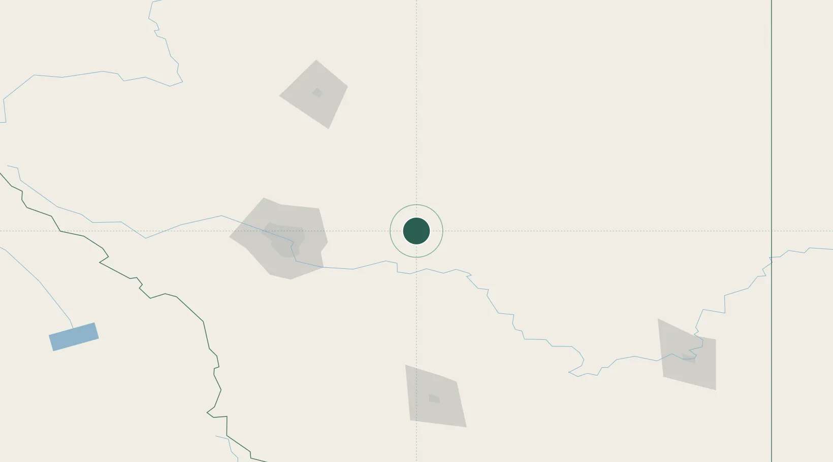
Place type
Populated place
Region
Alberta
Population
353
Time zone
America/Edmonton
Elevation
900 m
Location
Nearby Logistics Neighbours
Ports
- 1Mission City696 km
- 2Port Coquitlam727 km
- 3Bellingham730 km
- 4Port Moody733 km
- 5Fraser Mills733 km
Airports
- 1Calgary International Airport72 km
- 2Calgary / Springbank Airport97 km
- 3Red Deer Regional Airport134 km
- 4Lethbridge County Airport166 km
- 5Pincher Creek Airport192 km
Trade Zones
- 1Calgary Region Inland Port76 km
- 2Port Alberta - Edmonton FTZ281 km
- 3FTZ No. 187 Toole County283 km
- 4FTZ No. 242 Boundary County380 km
- 5FTZ No. 088 Great Falls417 km
DatabookThe Record of Consolidated Knowledge
Canada beyond logistics?