Transport Functions
Rail
Road
Hub Profile
Place type
Populated place
Region
Saskatchewan
Population
5,778
Time zone
America/Regina
Elevation
457 m
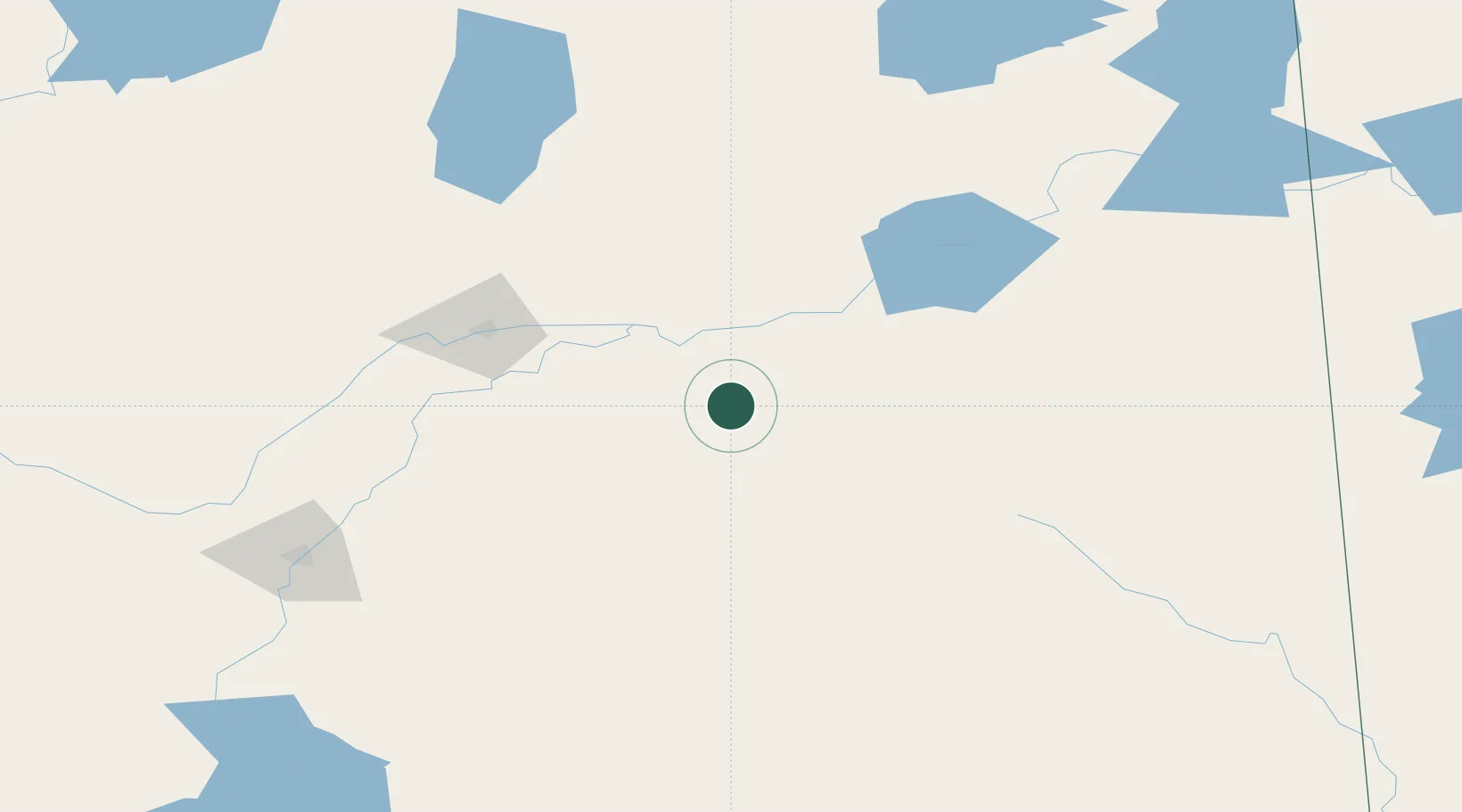
Location
Nearby Logistics Neighbours
Cities
- 1Star City18 km
- 2Naicam51 km
- 3Spalding58 km
- 4Zenon Park61 km
- 5Aylsham65 km
Ports
- 1Churchill924 km
- 2Duluth1121 km
- 3Superior1125 km
- 4Two Harbors1129 km
- 5Grand Marais1158 km
Airports
Trade Zones
- 1Global Transportation Hub Authority268 km
- 2Port Alberta - Edmonton FTZ587 km
- 3Winnipegs Centreport Canada613 km
- 4Calgary Region Inland Port678 km
- 5FTZ No. 187 Toole County717 km
DatabookThe Record of Consolidated Knowledge
Canada beyond logistics?