Transport Functions
Rail
Road
Hub Profile
Place type
Populated place
Region
Saskatchewan
Time zone
America/Regina
Elevation
572 m
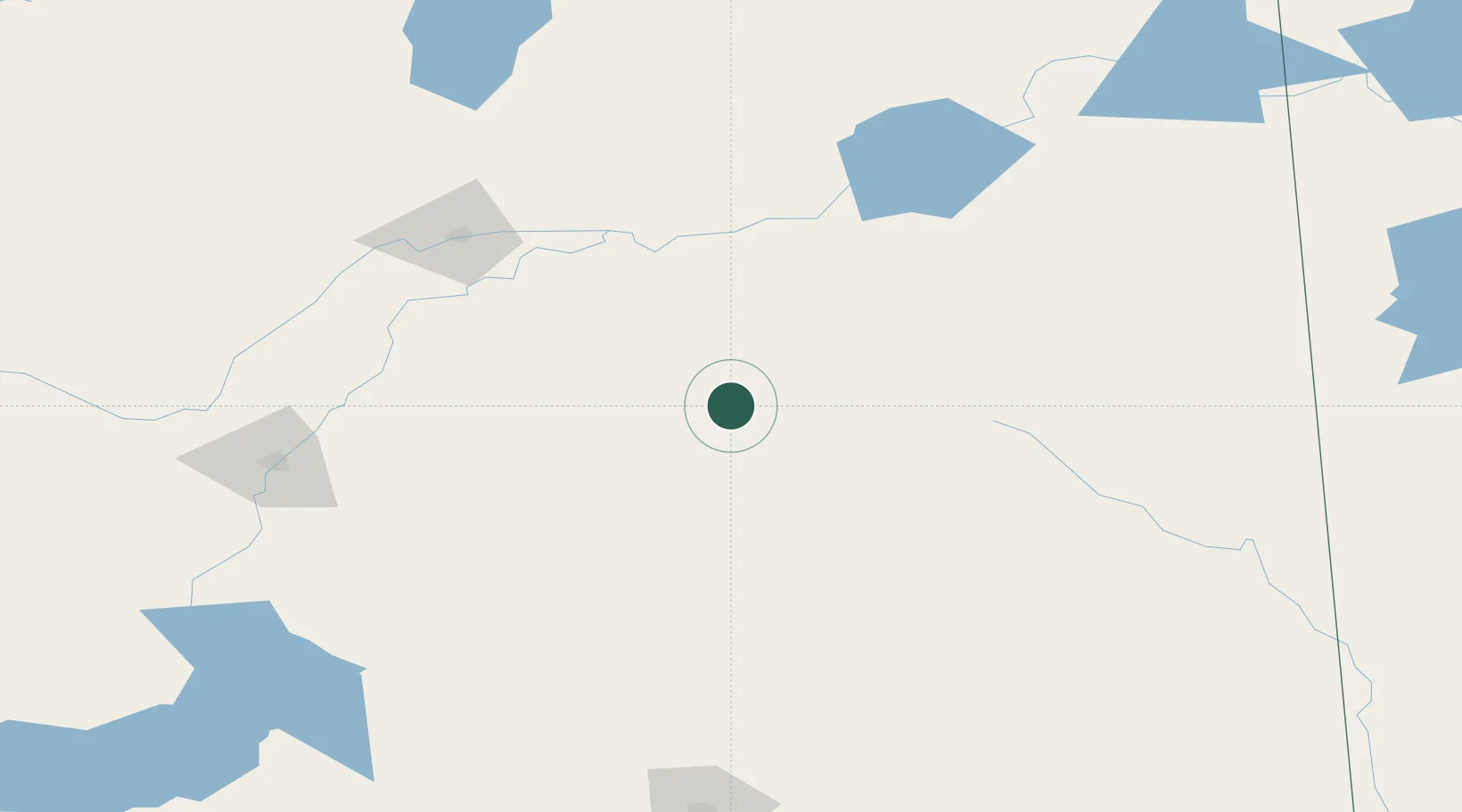
Location
Nearby Logistics Neighbours
Cities
- 1Spalding8 km
- 2Saint-Gregor33 km
- 3Leroy48 km
- 4Humboldt49 km
- 5Melfort51 km
Ports
- 1Churchill958 km
- 2Duluth1088 km
- 3Superior1093 km
- 4Two Harbors1098 km
- 5Grand Marais1132 km
Airports
Trade Zones
- 1Global Transportation Hub Authority218 km
- 2Winnipegs Centreport Canada583 km
- 3Port Alberta - Edmonton FTZ607 km
- 4Calgary Region Inland Port676 km
- 5FTZ No. 187 Toole County694 km
DatabookThe Record of Consolidated Knowledge
Canada beyond logistics?