Transport Functions
Rail
Road
Hub Profile
Place type
Locality
Region
Alberta
Population
29
Time zone
America/Edmonton
Elevation
760 m
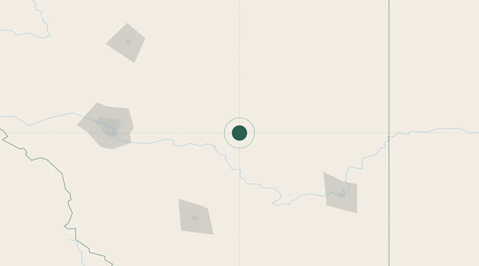
Location
Nearby Logistics Neighbours
Ports
- 1Mission City746 km
- 2Port Coquitlam778 km
- 3Bellingham778 km
- 4Port Moody784 km
- 5Fraser Mills785 km
Airports
- 1Calgary International Airport129 km
- 2Medicine Hat Regional Airport146 km
- 3Lethbridge County Airport153 km
- 4Calgary / Springbank Airport154 km
- 5Red Deer Regional Airport181 km
Trade Zones
- 1Calgary Region Inland Port132 km
- 2FTZ No. 187 Toole County261 km
- 3Port Alberta - Edmonton FTZ308 km
- 4FTZ No. 088 Great Falls387 km
- 5FTZ No. 242 Boundary County413 km
DatabookThe Record of Consolidated Knowledge
Canada beyond logistics?