Transport Functions
Port
Road
Multimodal
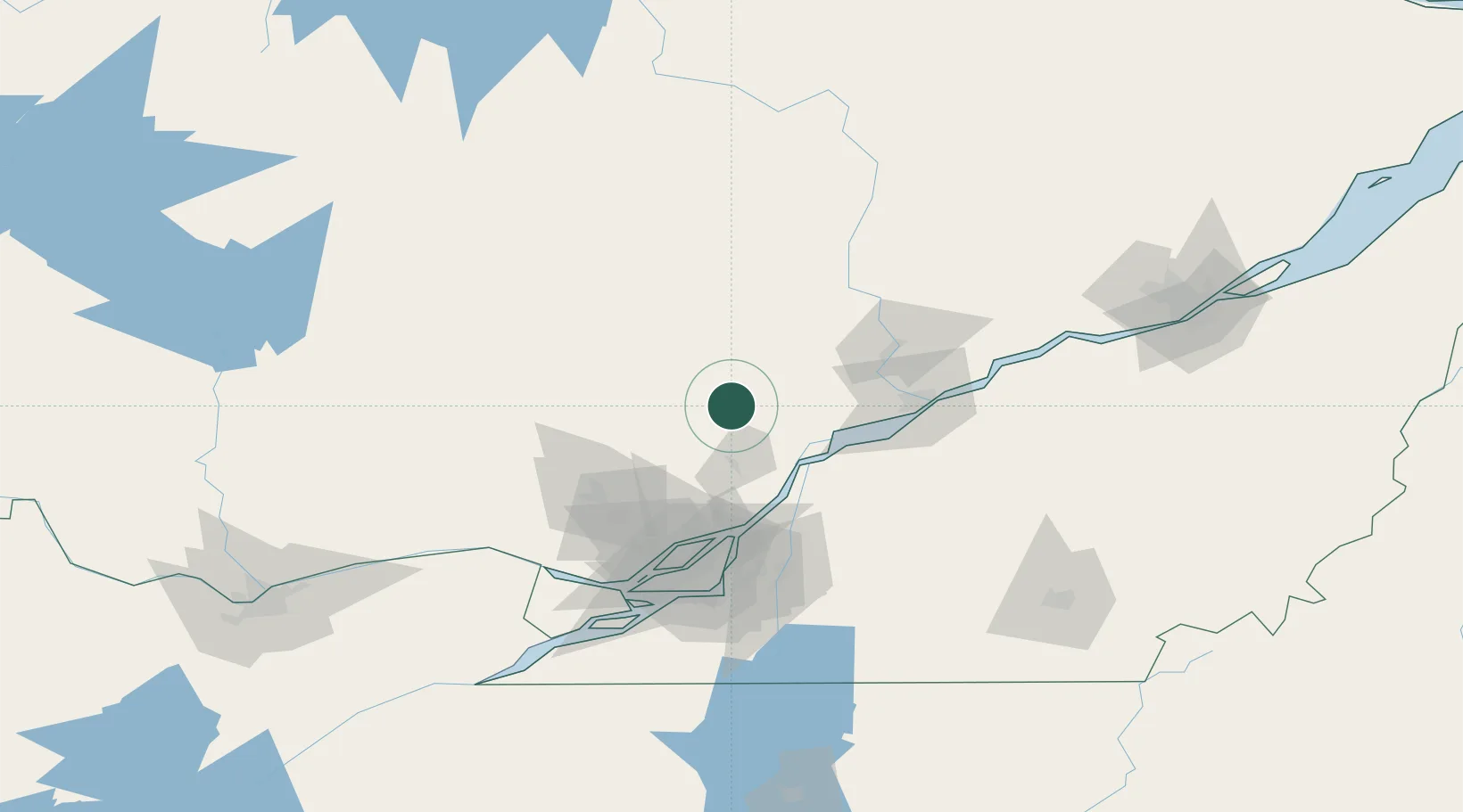
Hub Profile
Region
QC
Location
Nearby Logistics Neighbours
Cities
- 1Saint-Félix-de-Valois20 km
- 2Louiseville42 km
- 3Sainte-Victoire-de-Sorel44 km
- 4Yamachiche50 km
- 5Saint-Mathieu-du-Parc51 km
Ports
- 1Sorel42 km
- 2Contrecour55 km
- 3Trois Rivieres72 km
- 4Port De Becancour85 km
- 5Montreal91 km
Airports
Trade Zones
- 1Greater Montreal Free Zone Center92 km
- 2Québec City FTZ179 km
- 3FTZ No. 118 Ogdensburg240 km
- 4FTZ No. 109 Watertown322 km
- 5FTZ No. 186 Waterville356 km
DatabookThe Record of Consolidated Knowledge
Canada beyond logistics?