Medium airport · Canada

Trois-Rivières AirportCYRQ
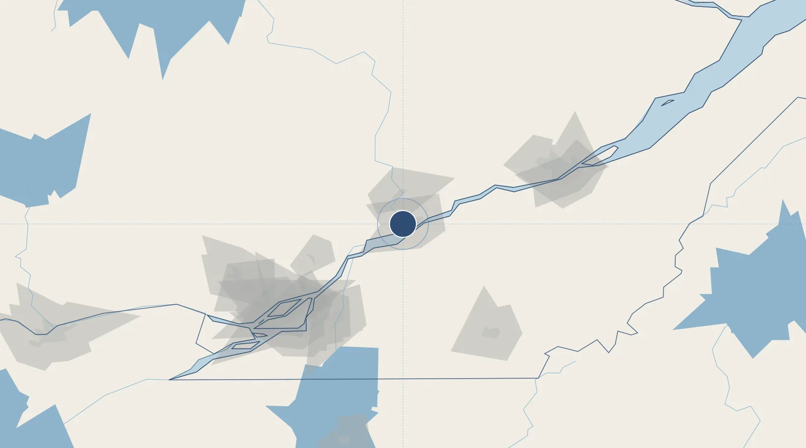
46.3528°, -72.6794°
9,006 ft
Longest runway
1
Runways
199 ft
Elevation

Runway & Layout

Trois-Rivières Airport runway & taxiway layout
Runway & taxiway layout — OpenStreetMap (ODbL) / OurAirports

Radio Frequencies

CNTR
128.22 MHz
MONTREAL CNTR
UNIC
123 MHz
MF/UNICOM
OurAirports

Navaids

YRQ NDB Trois Rivières 205 kHz
OurAirports

Runways · 1

RunwayDimensions SurfaceTrue headingLit
05/23 9,006 × 150ft Asphalt 031°
OurAirports

Airport Specifications

IATA code
YRQ
OurAirports
ICAO code
CYRQ
OurAirports
Airport class
Medium airport
OurAirports
Scheduled service
No
OurAirports
Runway surface
Asphalt
OurAirports
Served city
Trois-Rivières
OurAirports

Location

Location of CYRQ
Natural Earth 10m (public domain) · Québec · CYRQ · 46.35, -72.68GoogleOSMYandex

Nearby Logistics Neighbours

Airports
  1. 1Montréal / Saint-Hubert Metropolitan Airport109 km
  2. 2Quebec Jean Lesage International Airport110 km
  3. 3Bromont (Roland Désourdy) Airport118 km
  4. 4St Jean Airport127 km
  5. 5Sherbrooke Airport127 km
Nearest neighbours — logibook spatial index (haversine) over the source coordinates
Cities
  1. 1Yamachiche14 km
  2. 2Bécancour19 km
  3. 3Louiseville24 km
  4. 4Saint-Célestin26 km
  5. 5Grand Mere29 km
Nearest neighbours — logibook spatial index (haversine) over the source coordinates
Ports
  1. 1Trois Rivieres10 km
  2. 2Port De Becancour23 km
  3. 3Sorel48 km
  4. 4Contrecour66 km
  5. 5Montreal115 km
Nearest neighbours — logibook spatial index (haversine) over the source coordinates
Trade Zones
  1. 1Greater Montreal Free Zone Center116 km
  2. 2Québec City FTZ121 km
  3. 3FTZ No. 118 Ogdensburg286 km
  4. 4FTZ No. 186 Waterville307 km
  5. 5FTZ No. 263 Auburn317 km
Nearest neighbours — logibook spatial index (haversine) over the source coordinates
DatabookThe Record of Consolidated Knowledge
Canada beyond logistics?
Browse databook

All Sources

AirportsOurAirports
Public domain
Portsthe NGA World Port Index
Public domain (US gov)
LocationsUN/LOCODE
UN/LOCODE — free
Trade Zonesthe World Bank SEZ database
CC BY 4.0
Trade ZonesOpen Zone Map
CC BY
InfrastructureOpenStreetMap
ODbL 1.0
← Canada airports