UN/LOCODE hub · Canada
CASVD

Sainte-Victoire-de-Sorel

46.0000°, -73.1667°
2
Transport functions

Transport Functions

Port
Multimodal
UN/LOCODE

Hub Profile

Place type
Populated place
GeoNames
Region
Quebec
GeoNames
Time zone
America/Toronto
GeoNames
Elevation
20 m
GeoNames

Location

Location of CASVD
Natural Earth 10m (public domain) · Quebec · CASVD · 46.00, -73.17GoogleOSMYandex

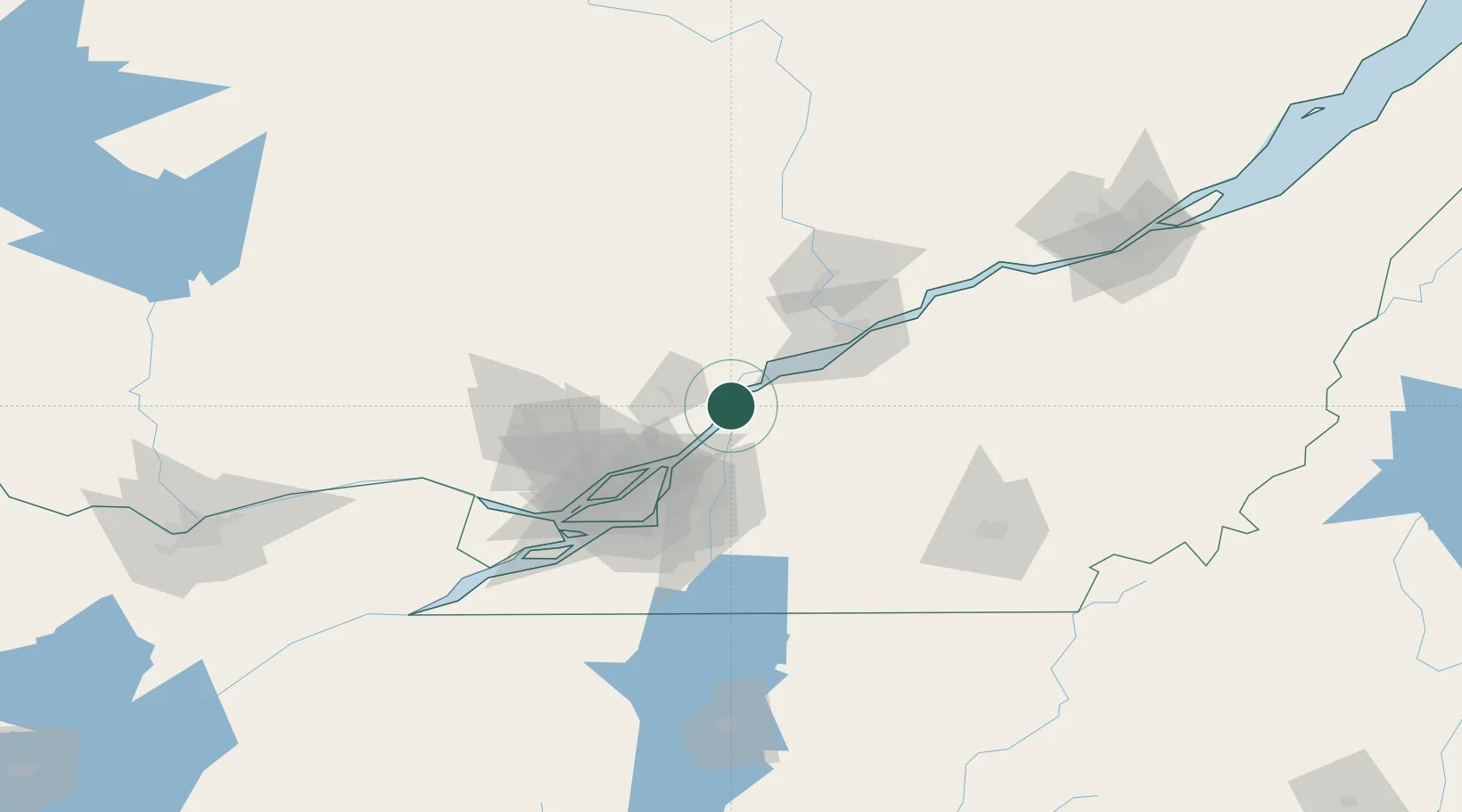
Nearby Logistics Neighbours

Cities
  1. 1Saint-Félix-de-Valois26 km
  2. 2Saint-François-du-Lac27 km
  3. 3Verchères30 km
  4. 4Louiseville32 km
  5. 5Saint-Charles-sur-Richelieu35 km
Nearest neighbours — logibook spatial index (haversine) over the source coordinates
Ports
  1. 1Sorel7 km
  2. 2Contrecour13 km
  3. 3Trois Rivieres61 km
  4. 4Montreal61 km
  5. 5Port De Becancour75 km
Nearest neighbours — logibook spatial index (haversine) over the source coordinates
Airports
  1. 1Trois-Rivières Airport54 km
  2. 2Montréal / Saint-Hubert Metropolitan Airport57 km
  3. 3Montreal / Pierre Elliott Trudeau International Airport74 km
  4. 4Montreal Mirabel International Airport76 km
  5. 5St Jean Airport79 km
Nearest neighbours — logibook spatial index (haversine) over the source coordinates
Trade Zones
  1. 1Greater Montreal Free Zone Center63 km
  2. 2Québec City FTZ173 km
  3. 3FTZ No. 118 Ogdensburg233 km
  4. 4FTZ No. 109 Watertown310 km
  5. 5FTZ No. 263 Auburn314 km
Nearest neighbours — logibook spatial index (haversine) over the source coordinates
DatabookThe Record of Consolidated Knowledge
Canada beyond logistics?
Browse databook

All Sources

LocationsUN/LOCODE
UN/LOCODE — free
Portsthe NGA World Port Index
Public domain (US gov)
AirportsOurAirports
Public domain
Trade Zonesthe World Bank SEZ database
CC BY 4.0
Trade ZonesOpen Zone Map
CC BY
← Canada locations