UN/LOCODE hub · Canada
CASFX

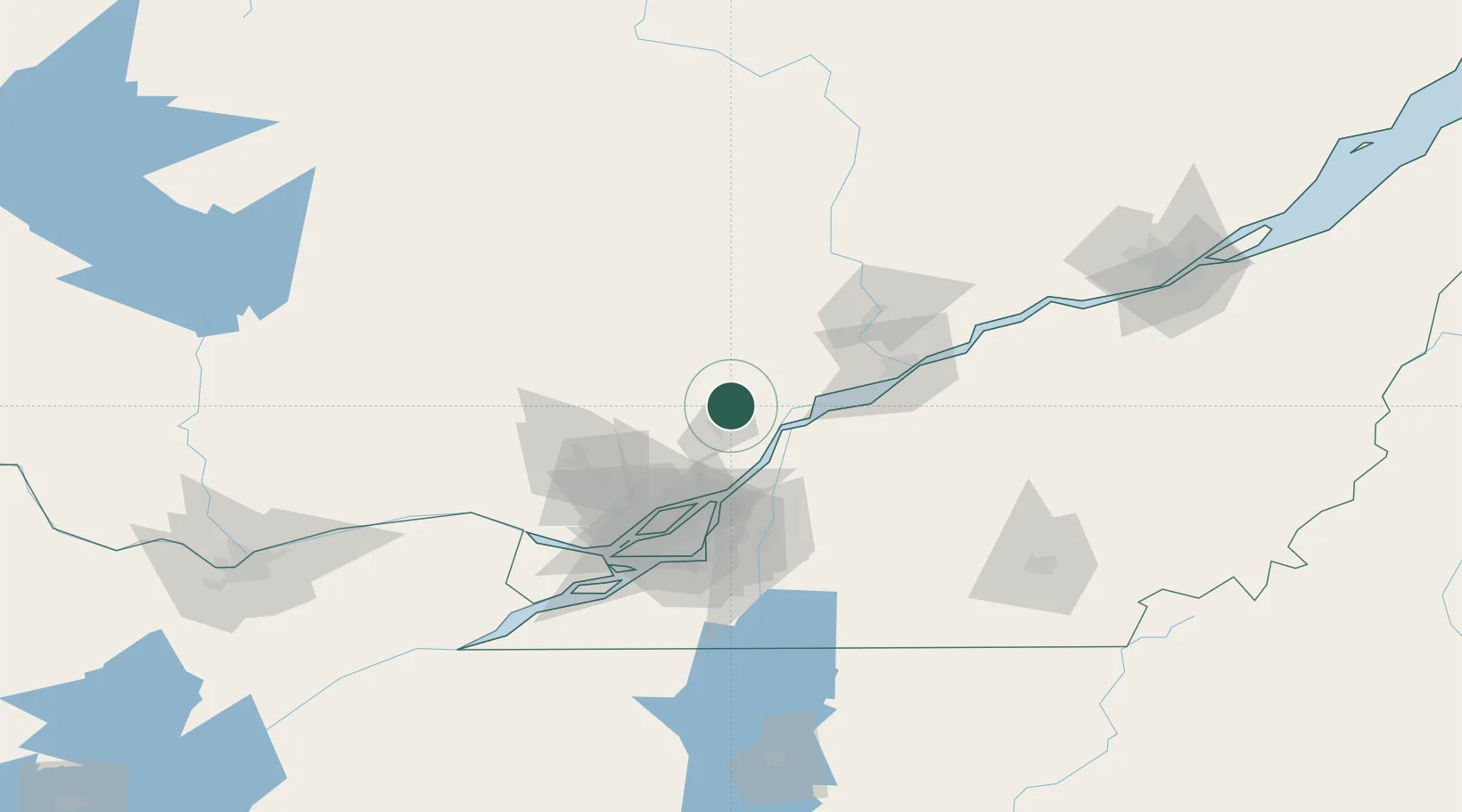
Saint-Félix-de-Valois

46.1667°, -73.4000°
6,029
Population
3
Transport functions

Transport Functions

Port
Rail
Road
UN/LOCODE

Hub Profile

Place type
Populated place
GeoNames
Region
Quebec
GeoNames
Population
6,029
GeoNames
Time zone
America/Toronto
GeoNames
Elevation
123 m
GeoNames

Location

Location of CASFX
Natural Earth 10m (public domain) · Quebec · CASFX · 46.17, -73.40GoogleOSMYandex

Nearby Logistics Neighbours

Cities
  1. 1Saint-Damien-de-Brandon20 km
  2. 2Sainte-Victoire-de-Sorel26 km
  3. 3Louiseville36 km
  4. 4Saint-Roch-de-l'Achigan38 km
  5. 5Verchères45 km
Nearest neighbours — logibook spatial index (haversine) over the source coordinates
Ports
  1. 1Sorel25 km
  2. 2Contrecour35 km
  3. 3Trois Rivieres69 km
  4. 4Montreal73 km
  5. 5Port De Becancour82 km
Nearest neighbours — logibook spatial index (haversine) over the source coordinates
Airports
  1. 1Trois-Rivières Airport59 km
  2. 2Montréal / Saint-Hubert Metropolitan Airport72 km
  3. 3Montreal Mirabel International Airport73 km
  4. 4Montreal / Pierre Elliott Trudeau International Airport82 km
  5. 5St Jean Airport97 km
Nearest neighbours — logibook spatial index (haversine) over the source coordinates
Trade Zones
  1. 1Greater Montreal Free Zone Center74 km
  2. 2Québec City FTZ180 km
  3. 3FTZ No. 118 Ogdensburg231 km
  4. 4FTZ No. 109 Watertown312 km
  5. 5FTZ No. 263 Auburn340 km
Nearest neighbours — logibook spatial index (haversine) over the source coordinates
DatabookThe Record of Consolidated Knowledge
Canada beyond logistics?
Browse databook

All Sources

LocationsUN/LOCODE
UN/LOCODE — free
LocationsGeoNames
CC BY 4.0
Portsthe NGA World Port Index
Public domain (US gov)
AirportsOurAirports
Public domain
Trade Zonesthe World Bank SEZ database
CC BY 4.0
Trade ZonesOpen Zone Map
CC BY
← Canada locations