Transport Functions
Port
Rail
Road
Multimodal
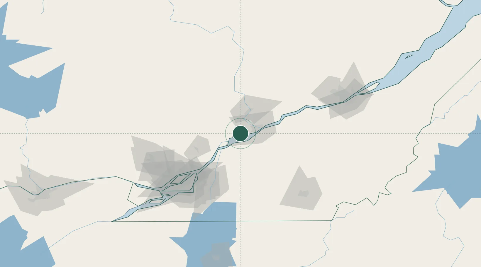
Hub Profile
Place type
Populated place
Region
Quebec
Population
1,240
Time zone
America/Toronto
Elevation
10 m
Location
Nearby Logistics Neighbours
Cities
- 1Louiseville10 km
- 2Saint-François-du-Lac24 km
- 3Bécancour31 km
- 4Saint-Mathieu-du-Parc32 km
- 5Saint-Célestin33 km
Ports
- 1Trois Rivieres23 km
- 2Sorel34 km
- 3Port De Becancour37 km
- 4Contrecour53 km
- 5Montreal102 km
Airports
Trade Zones
- 1Greater Montreal Free Zone Center103 km
- 2Québec City FTZ135 km
- 3FTZ No. 118 Ogdensburg272 km
- 4FTZ No. 186 Waterville312 km
- 5FTZ No. 263 Auburn319 km
DatabookThe Record of Consolidated Knowledge
Canada beyond logistics?