Medium airport · Canada
Mont-Tremblant International AirportCYFJ
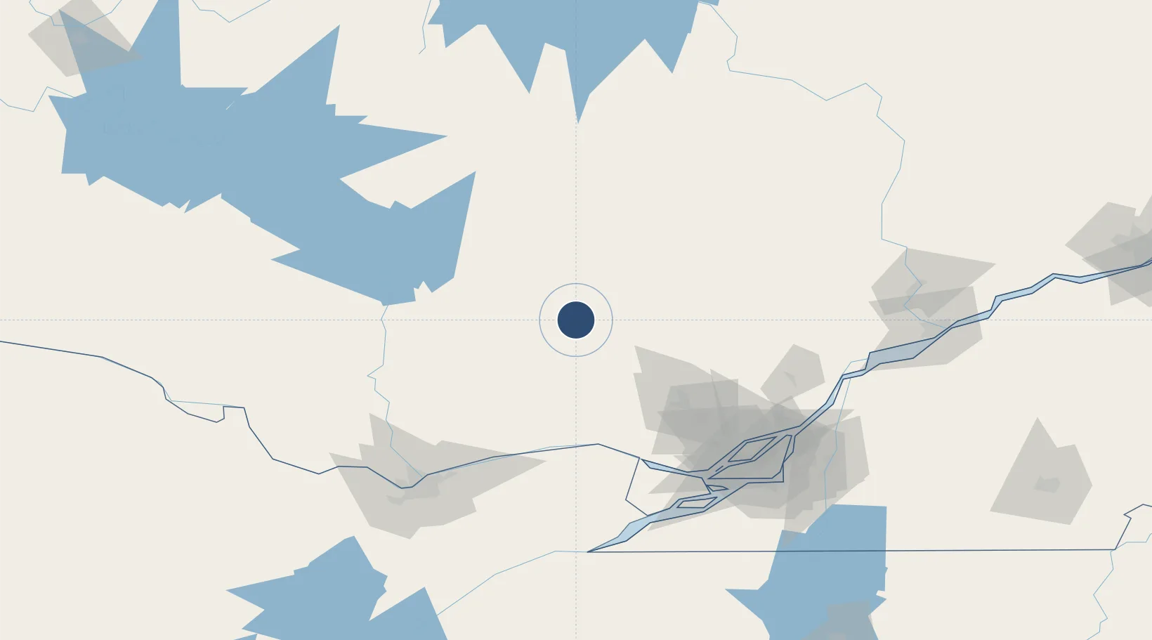
46.4094°, -74.7800°
5,587 ft
Longest runway
1
Runways
827 ft
Elevation
Runway & Layout

Radio Frequencies
ATF
122.7 MHz
ATF/UNICOM
PAL
133.9 MHz
Montreal Center
Runways · 1
| Runway | Dimensions | Surface | True heading | Lit |
|---|---|---|---|---|
| 02/20 | 5,587 × 100ft | Asphalt | 011° | ✓ |
Airport Specifications
IATA code
YTM
ICAO code
CYFJ
Airport class
Medium airport
Scheduled service
No
Runway surface
Asphalt
Served city
La Macaza
Location
Nearby Logistics Neighbours
Airports
Cities
- 1Saint-Faustin40 km
- 2Saint-André-Avellin80 km
- 3Prévost81 km
- 4Montebello85 km
- 5Alfred96 km
Ports
- 1Fassett85 km
- 2Montebello85 km
- 3Grenville87 km
- 4Hawkesbury89 km
- 5Papineauville90 km
Trade Zones
- 1Greater Montreal Free Zone Center138 km
- 2FTZ No. 118 Ogdensburg197 km
- 3Québec City FTZ273 km
- 4FTZ No. 109 Watertown283 km
- 5FTZ No. 090 Onondaga357 km
DatabookThe Record of Consolidated Knowledge
Canada beyond logistics?