Seaport · Canada

SorelCASOR

46.0500°, -73.1167°
11.0 m
Channel depth
12.9
Port liner connectivity

Channel & Berth Profile

SEA LEVEL (CD)CHANNEL BEDAnchorage · 9.4 mCargo pier · 9.4 mChannel · 11.0 m
NGA World Port Index

Pilotage, Tugs & Services

Pilotage compulsoryYES
Pilotage advisableYES
Local assistanceYES
Tug assistanceYES
Shore powerYES
Potable waterYES
Diesel bunkersYES
MedicalYES
Garbage disposalYES
NGA World Port Index

Facilities & Capabilities

Container
Ro-Ro
Liquid bulk
Dry bulk
Oil terminal
Break bulk
Dry dockNO
RepairsNO
BunkeringYES
Rail linkYES
Dangerous cargo
ISPS security
NGA World Port Index

Harbour Specifications

Harbour size
Small
NGA World Port Index
Harbour type
River (Natural)
NGA World Port Index
Shelter
Good
NGA World Port Index
Water body
Gulf of Saint Lawrence; North Atlantic Ocean
NGA World Port Index
Tidal range
2 m
NGA World Port Index
Overhead limit
Yes
NGA World Port Index
Pilotage
Yes
NGA World Port Index

Liner Connectivity

12.9
PLSCI

Port Liner Shipping Connectivity Index for Sorel, as published by UNCTAD for the latest available quarter. Higher values indicate stronger scheduled liner-shipping integration.

Shown relative to the highest per-port PLSCI in the dataset (1,657.9).
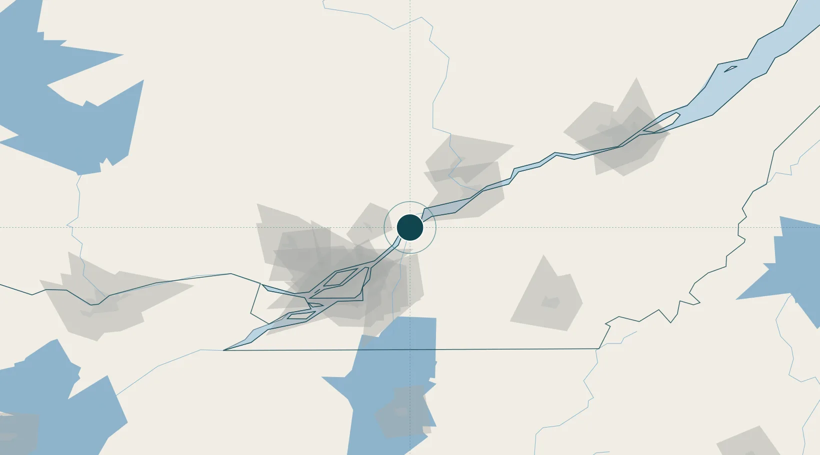
UNCTAD · Port Liner Shipping Connectivity Index

Location

Location of CASOR
Natural Earth 10m (public domain) · Québec · CASOR · 46.05, -73.12GoogleOSMYandex

Nearby Logistics Neighbours

Ports
  1. 1Contrecour20 km
  2. 2Trois Rivieres55 km
  3. 3Montreal68 km
  4. 4Port De Becancour69 km
  5. 5Oka Sur Le Lac99 km
Nearest neighbours — logibook spatial index (haversine) over the source coordinates
Cities
  1. 1Sainte-Victoire-de-Sorel7 km
  2. 2Saint-François-du-Lac22 km
  3. 3Saint-Félix-de-Valois25 km
  4. 4Louiseville26 km
  5. 5Yamachiche34 km
Nearest neighbours — logibook spatial index (haversine) over the source coordinates
Airports
  1. 1Trois-Rivières Airport48 km
  2. 2Montréal / Saint-Hubert Metropolitan Airport64 km
  3. 3Montreal / Pierre Elliott Trudeau International Airport81 km
  4. 4Montreal Mirabel International Airport82 km
  5. 5St Jean Airport85 km
Nearest neighbours — logibook spatial index (haversine) over the source coordinates
Trade Zones
  1. 1Greater Montreal Free Zone Center69 km
  2. 2Québec City FTZ167 km
  3. 3FTZ No. 118 Ogdensburg239 km
  4. 4FTZ No. 263 Auburn315 km
  5. 5FTZ No. 186 Waterville315 km
Nearest neighbours — logibook spatial index (haversine) over the source coordinates
DatabookThe Record of Consolidated Knowledge
Canada beyond logistics?
Browse databook

All Sources

Portsthe NGA World Port Index
Public domain (US gov)
Logistics performanceUNCTAD
CC BY 3.0 IGO
AirportsOurAirports
Public domain
LocationsUN/LOCODE
UN/LOCODE — free
Trade Zonesthe World Bank SEZ database
CC BY 4.0
Trade ZonesOpen Zone Map
CC BY
← Canada ports