UN/LOCODE hub · Canada
CAMHP

Saint-Mathieu-du-Parc

46.5667°, -72.9167°
2
Transport functions

Transport Functions

Road
Multimodal
UN/LOCODE

Hub Profile

Place type
Populated place
GeoNames
Region
Quebec
GeoNames
Time zone
America/Toronto
GeoNames
Elevation
190 m
GeoNames

Location

Location of CAMHP
Natural Earth 10m (public domain) · Quebec · CAMHP · 46.57, -72.92GoogleOSMYandex

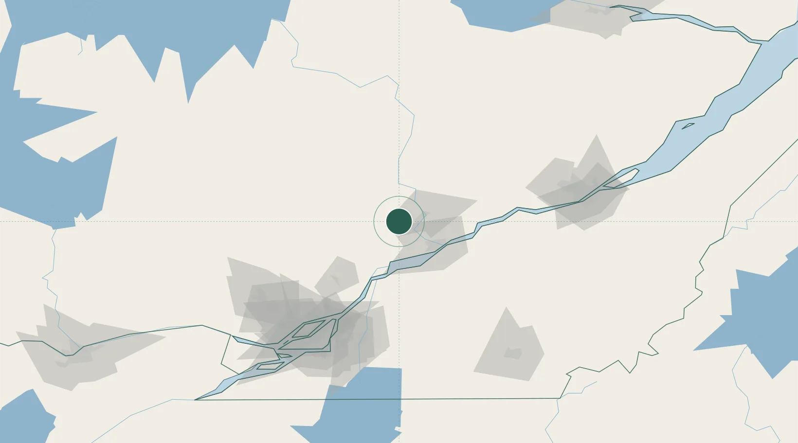
Nearby Logistics Neighbours

Cities
  1. 1Grand Mere19 km
  2. 2Saint-Georges20 km
  3. 3Yamachiche32 km
  4. 4Saint-Tite33 km
  5. 5Louiseville35 km
Nearest neighbours — logibook spatial index (haversine) over the source coordinates
Ports
  1. 1Trois Rivieres37 km
  2. 2Port De Becancour45 km
  3. 3Sorel60 km
  4. 4Contrecour79 km
  5. 5Montreal127 km
Nearest neighbours — logibook spatial index (haversine) over the source coordinates
Trade Zones
  1. 1Greater Montreal Free Zone Center128 km
  2. 2Québec City FTZ130 km
  3. 3FTZ No. 118 Ogdensburg289 km
  4. 4FTZ No. 186 Waterville337 km
  5. 5FTZ No. 263 Auburn347 km
Nearest neighbours — logibook spatial index (haversine) over the source coordinates
DatabookThe Record of Consolidated Knowledge
Canada beyond logistics?
Browse databook

All Sources

LocationsUN/LOCODE
UN/LOCODE — free
Portsthe NGA World Port Index
Public domain (US gov)
AirportsOurAirports
Public domain
Trade Zonesthe World Bank SEZ database
CC BY 4.0
Trade ZonesOpen Zone Map
CC BY
← Canada locations