UN/LOCODE hub · Canada
CALSV

Louiseville

46.2500°, -72.9500°
5,819
Population
2
Transport functions

Transport Functions

Rail
Road
UN/LOCODE

Hub Profile

Place type
Populated place
GeoNames
Region
Quebec
GeoNames
Population
5,819
GeoNames
Time zone
America/Toronto
GeoNames
Elevation
17 m
GeoNames

Location

Location of CALSV
Natural Earth 10m (public domain) · Quebec · CALSV · 46.25, -72.95GoogleOSMYandex

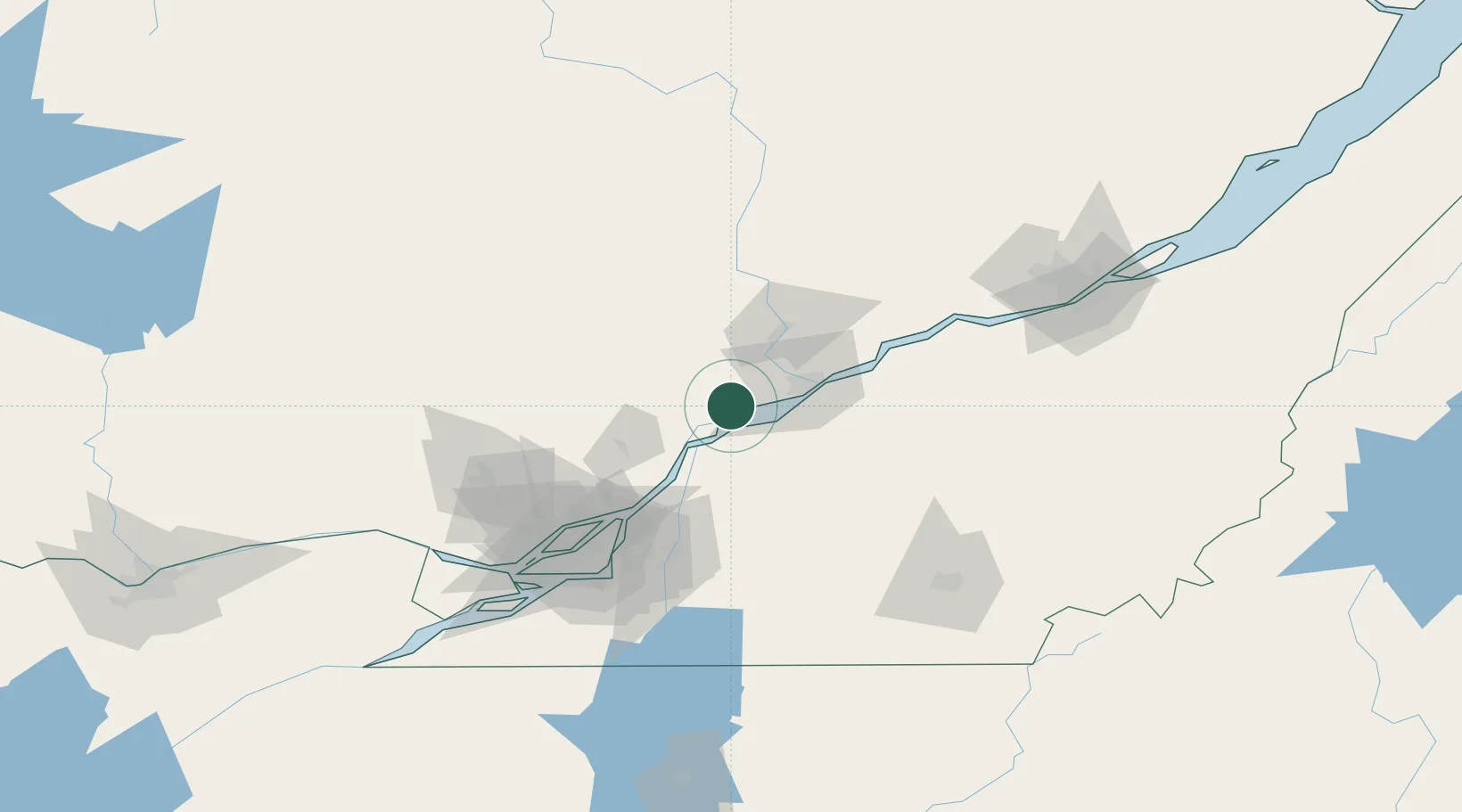
Nearby Logistics Neighbours

Cities
  1. 1Yamachiche10 km
  2. 2Saint-François-du-Lac22 km
  3. 3Sainte-Victoire-de-Sorel32 km
  4. 4Saint-Mathieu-du-Parc35 km
  5. 5Saint-Félix-de-Valois36 km
Nearest neighbours — logibook spatial index (haversine) over the source coordinates
Ports
  1. 1Sorel26 km
  2. 2Trois Rivieres33 km
  3. 3Contrecour45 km
  4. 4Port De Becancour47 km
  5. 5Montreal94 km
Nearest neighbours — logibook spatial index (haversine) over the source coordinates
Trade Zones
  1. 1Greater Montreal Free Zone Center95 km
  2. 2Québec City FTZ145 km
  3. 3FTZ No. 118 Ogdensburg263 km
  4. 4FTZ No. 186 Waterville317 km
  5. 5FTZ No. 263 Auburn322 km
Nearest neighbours — logibook spatial index (haversine) over the source coordinates
DatabookThe Record of Consolidated Knowledge
Canada beyond logistics?
Browse databook

All Sources

LocationsUN/LOCODE
UN/LOCODE — free
LocationsGeoNames
CC BY 4.0
Portsthe NGA World Port Index
Public domain (US gov)
AirportsOurAirports
Public domain
Trade Zonesthe World Bank SEZ database
CC BY 4.0
Trade ZonesOpen Zone Map
CC BY
← Canada locations