Seaport · Canada
MontrealCAMTR
45.5167°, -73.5500°
11.0 m
Channel depth
4
Container terminals
97.4
Port liner connectivity
Channel & Berth Profile
Pilotage, Tugs & Services
Pilotage compulsoryYES
Pilotage availableYES
Pilotage advisableYES
Local assistanceYES
Tug assistanceYES
Shore powerYES
Potable waterYES
Diesel bunkersYES
MedicalYES
Garbage disposalYES
Facilities & Capabilities
Container—
Ro-Ro—
Liquid bulk—
Dry bulk—
Oil terminal—
Break bulk—
Dry dockNO
RepairsNO
BunkeringYES
Rail linkYES
Dangerous cargo—
ISPS security—
Harbour Specifications
Harbour size
Large
Harbour type
River (Natural)
Shelter
Good
Water body
Lake Ontario; Great Lakes
Overhead limit
Yes
Pilotage
Yes
Liner Connectivity
97.4
PLSCI
Port Liner Shipping Connectivity Index for Montreal, as published by UNCTAD for the latest available quarter. Higher values indicate stronger scheduled liner-shipping integration.
Shown relative to the highest per-port PLSCI in the dataset (1,657.9).
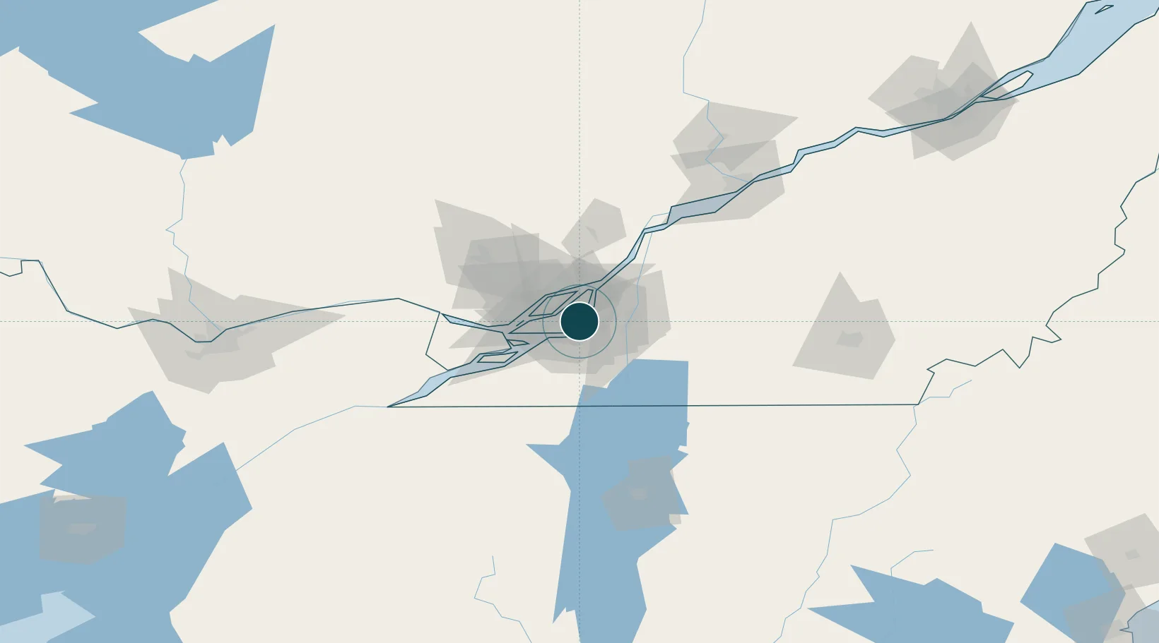
Location
Container Terminals · 4
CAST TERMINAL (SECTION 77)
MGTCAS MONTREAL GATEWAY TERMINALS
RACINE TERMINAL (SECTION 62)
MGTRAC MONTREAL GATEWAY TERMINALS
MAISONNEUVE TERMINAL (SECTION 68)
TMTMAI TERMONT TERMINAL INC
VIAU TERMINAL (SECTION 52)
VIAU TERMONT TERMINAL INC
Nearby Logistics Neighbours
Ports
- 1Beauharnois34 km
- 2Vaudreuil40 km
- 3Oka Sur Le Lac42 km
- 4Hudson46 km
- 5Contrecour49 km
Cities
- 1Saint-Lambert5 km
- 2Longue-Pointe8 km
- 3Montréal-Nord9 km
- 4Longueuil10 km
- 5Saint-Pierre10 km
Airports
Trade Zones
- 1Greater Montreal Free Zone Center1 km
- 2FTZ No. 118 Ogdensburg178 km
- 3Québec City FTZ229 km
- 4FTZ No. 109 Watertown252 km
- 5FTZ No. 268 Brattleboro305 km
DatabookThe Record of Consolidated Knowledge
Canada beyond logistics?