Transport Functions
Rail
Road
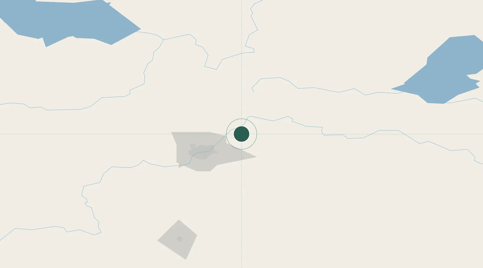
Hub Profile
Place type
Populated place
Region
Alberta
Time zone
America/Edmonton
Elevation
660 m
Location
Nearby Logistics Neighbours
Cities
- 1Redwater21 km
- 2Fort Saskatchewan22 km
- 3Gibbons27 km
- 4Lancaster Park40 km
- 5Thorhild43 km
Ports
- 1Mission City827 km
- 2Port Coquitlam849 km
- 3Port Moody852 km
- 4Fraser Mills854 km
- 5New Westminster859 km
Airports
- 1Edmonton International Airport70 km
- 2Bonnyville Airport153 km
- 3CFB Cold Lake185 km
- 4Red Deer Regional Airport191 km
- 5Whitecourt Airport192 km
Trade Zones
- 1Port Alberta - Edmonton FTZ33 km
- 2Calgary Region Inland Port316 km
- 3FTZ No. 187 Toole County579 km
- 4FTZ No. 242 Boundary County624 km
- 5PrInce George Logistics Park645 km
DatabookThe Record of Consolidated Knowledge
Canada beyond logistics?